SeaSee - Explore the ocean floor in realtime 3D
SeaSee
Explore the ocean floor in realtime 3D
Screenshots
 View Image |
|---|
Hunter's comment
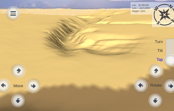
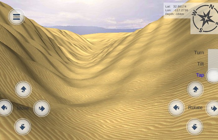
Exploring the seabed and seeing things in real-time may not always be easy especially for students that want to learn about it. SeaSea app makes it easy for anyone to explore the seabed. FOr educational purposes, the user of this app can just point to the sea and the app automatically generates images of the seabed depending on the location of the pointer.
How does it work?
The SeaSee App uses bathymetric data to generate 3d views of the underwater terrain which reflect the angle and viewpoint of where the user is pointing their phone and their gps location. In addition to the app’s point and view “what is there” mode, you can also zoom and scroll around to explore all the ocean floor.
Link
https://play.google.com/store/apps/details?id=com.eauligo.SeeSea

This is posted on Steemhunt - A place where you can dig products and earn STEEM.
View on Steemhunt.com
Hi Hunter,
Before I approve this hunt, please update the title to SeaSee as it is on the product website.
Please reply to my comment when you are done. Remember to edit it through SteemHunt.
Thanks
Please read our posting guidelines.
Connect with Steemhunt
Thanks @aamirijaz for spotting the error. Corrected.
Approved.