Whychus Canyon Preserve - A Hike to the Bottom
Hello again everyone! Here are some shots I took during a little hike in the Whychus Canyon Preserve in Central Oregon. There is close to 8 miles of trails inside the preserve. On this hike I will be going down into the canyon to the banks of Whychus Creek. A little over 2 mile round trip down and up the canyon. I have shared a couple other posts about hikes on this creek. One was nearer the source, the snow capped mountains you can see in the first picture and one near the terminus where it flows into the Deschutes River.
Click images for larger view
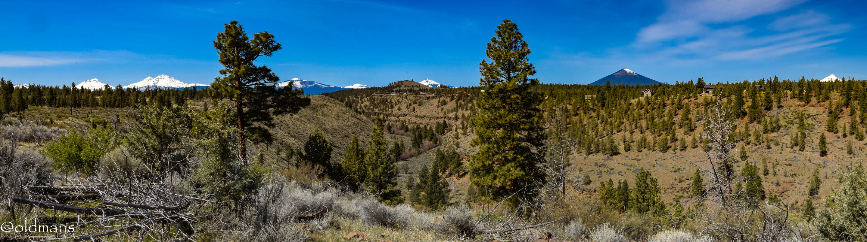
A shot from the west end of the preserve as I prepare to start the descent into the canyon. You can see the snow capped peaks of the Cascade Mountain Range in the distance.
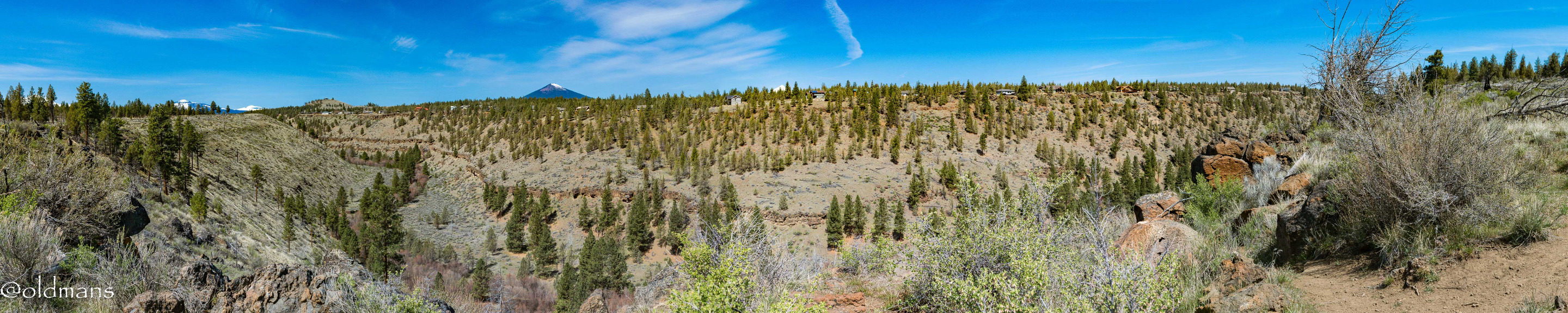
A view of the canyon and the start of the serious downhill part of the trail on the right side. :)
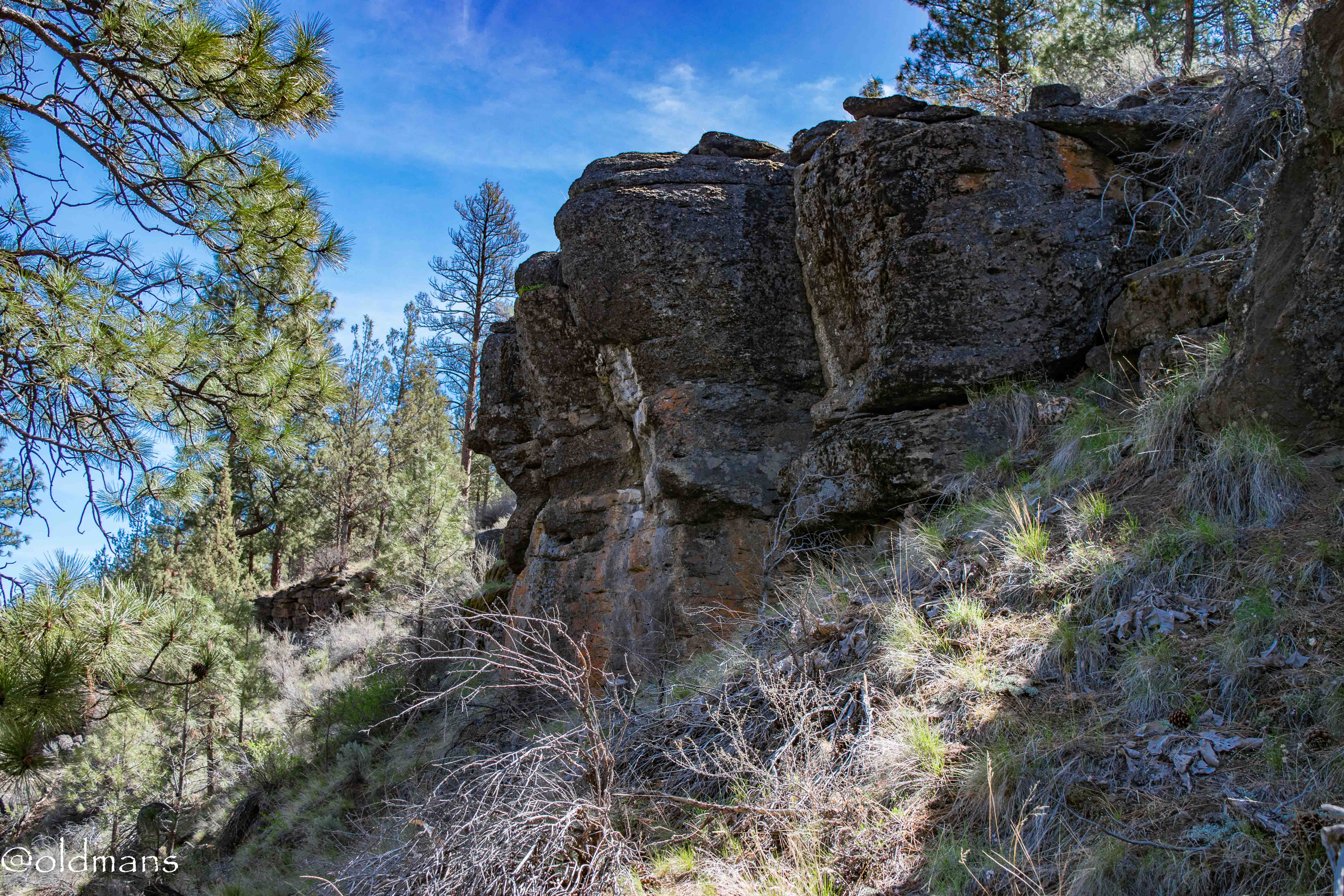
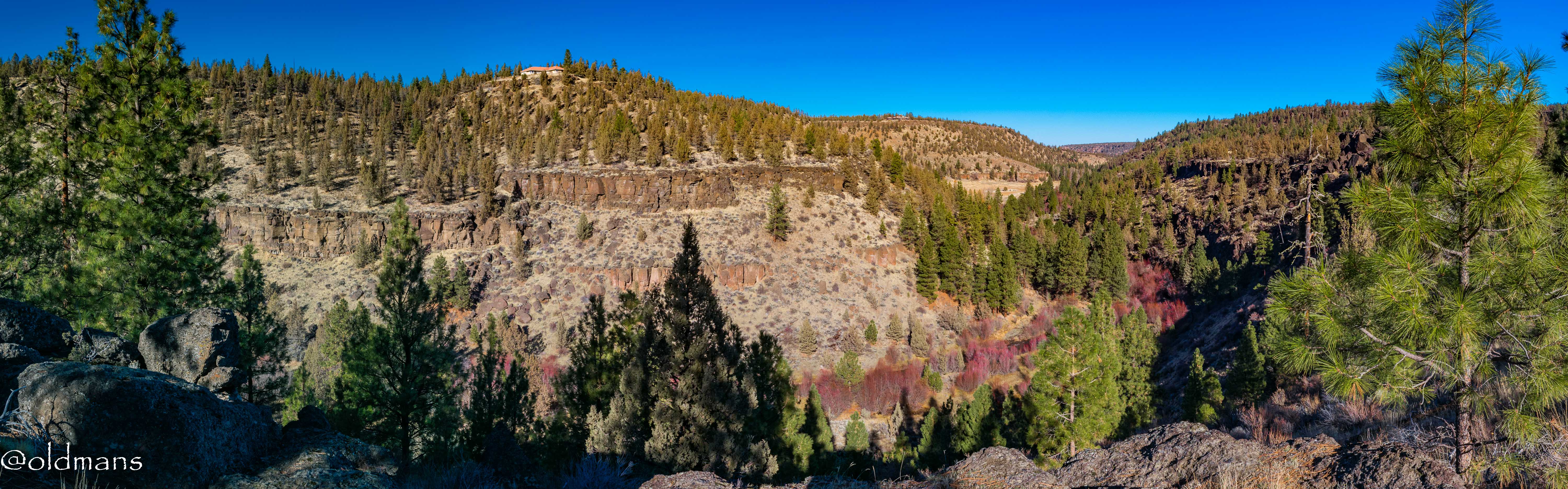
A couple more views of the canyon as I begin to dip under the rim.
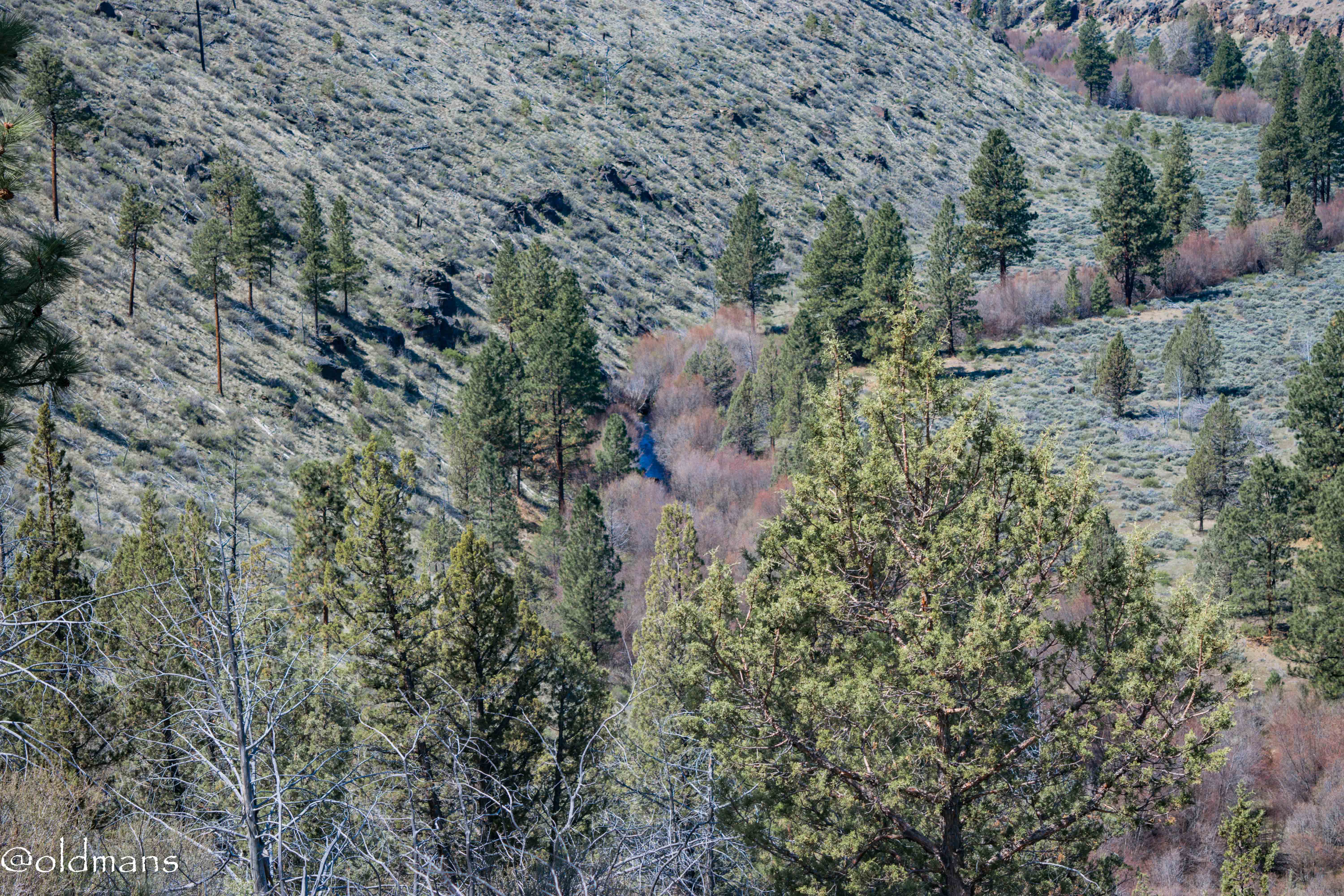
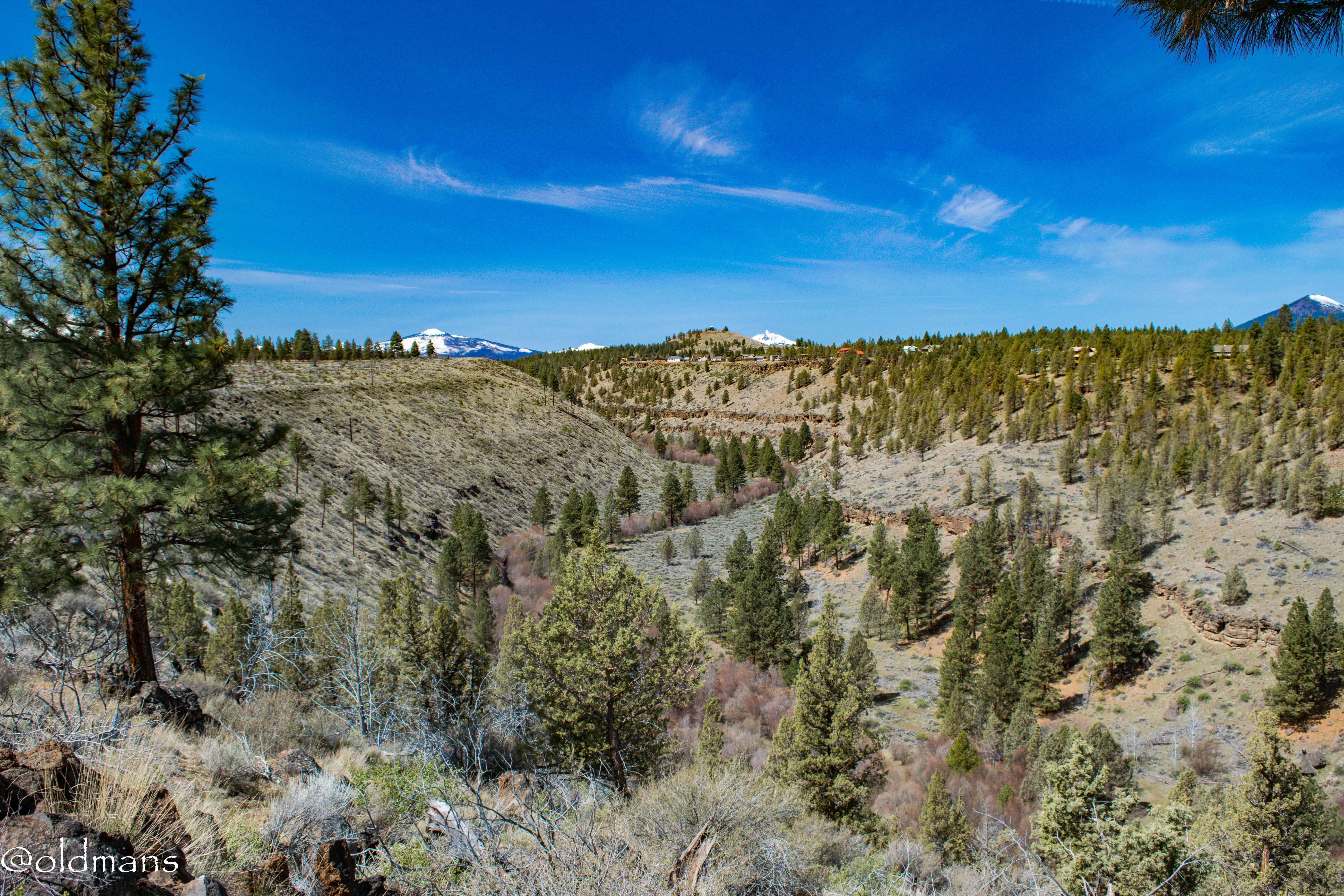
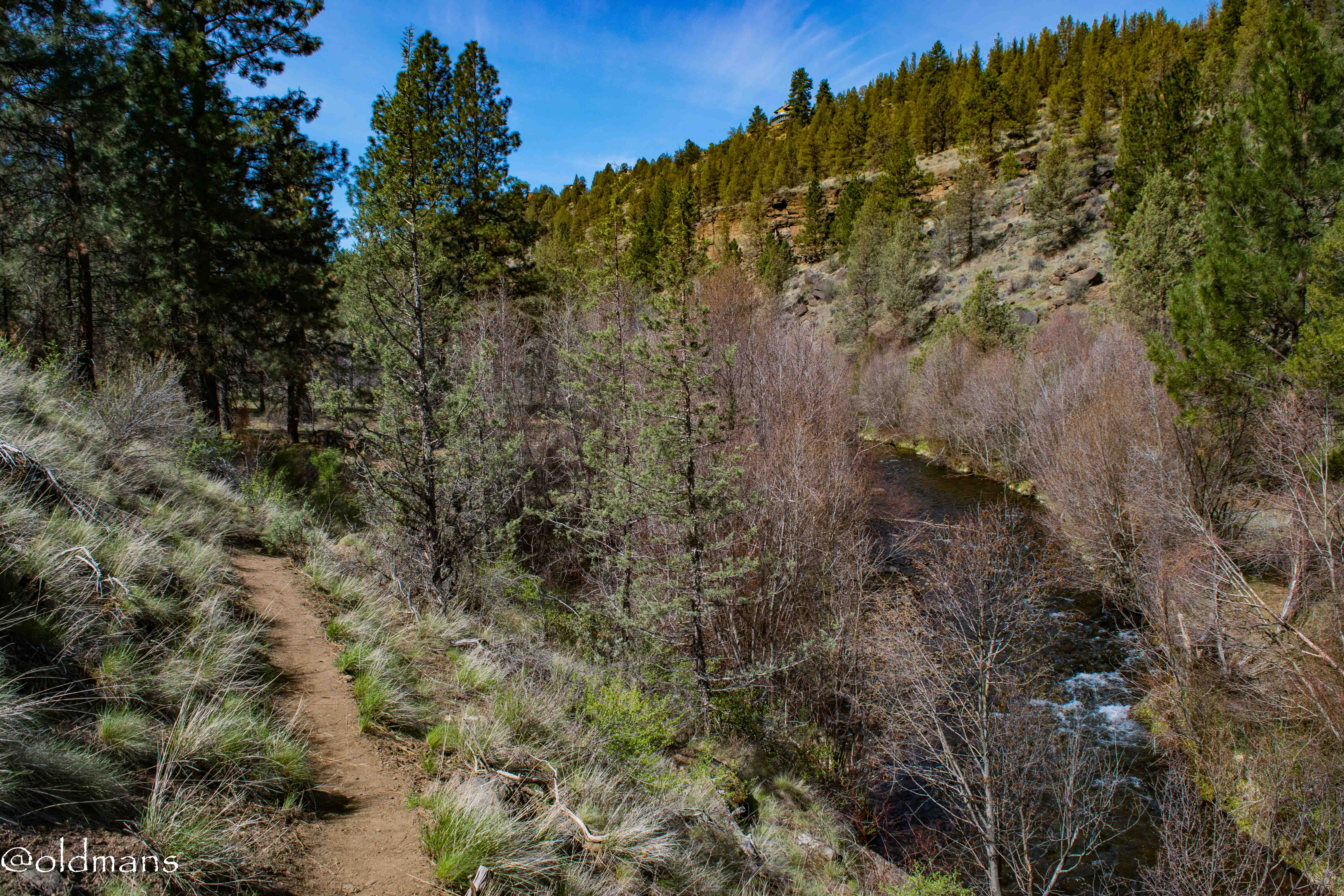
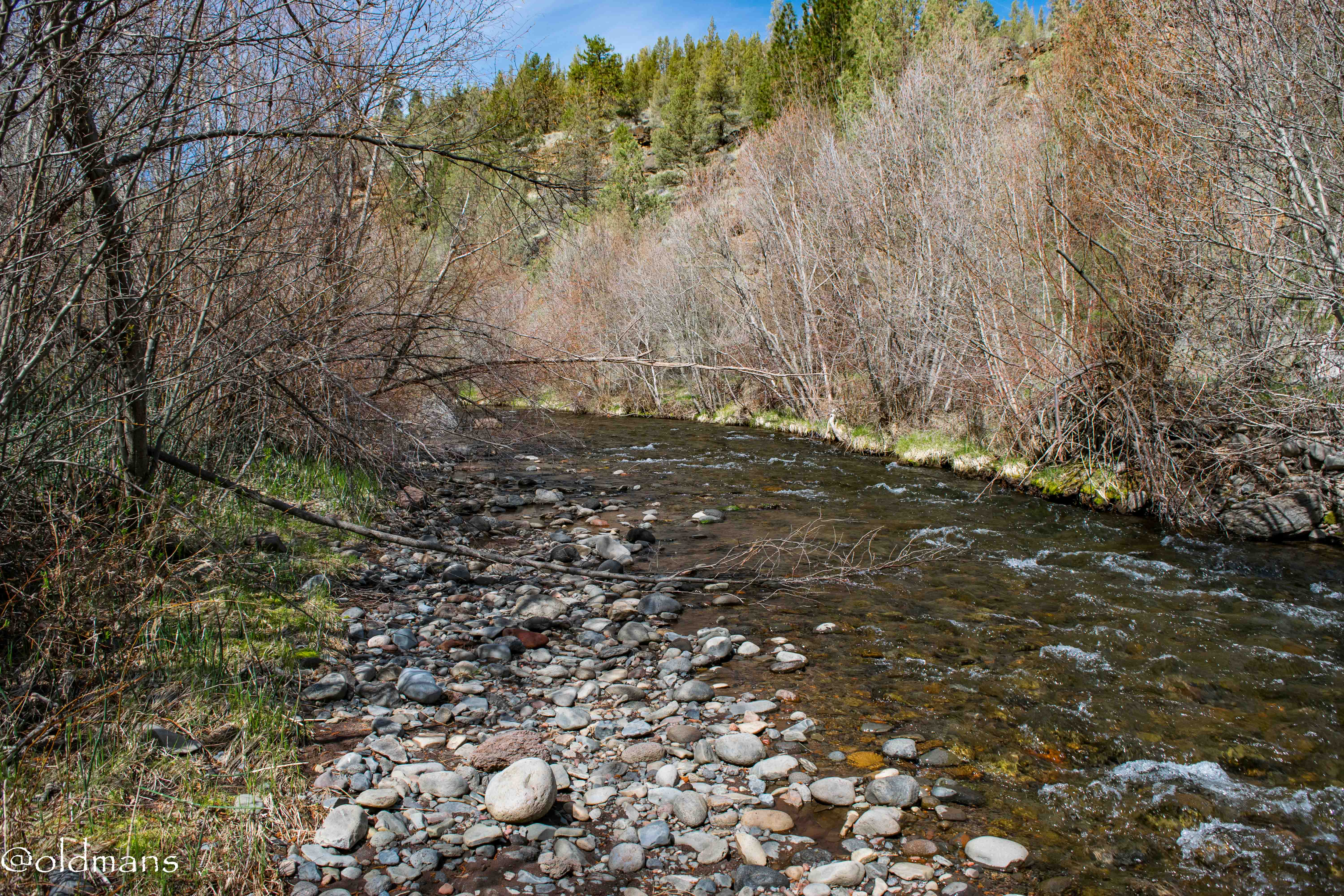
My first view of the water as it winds its way through the canyon.
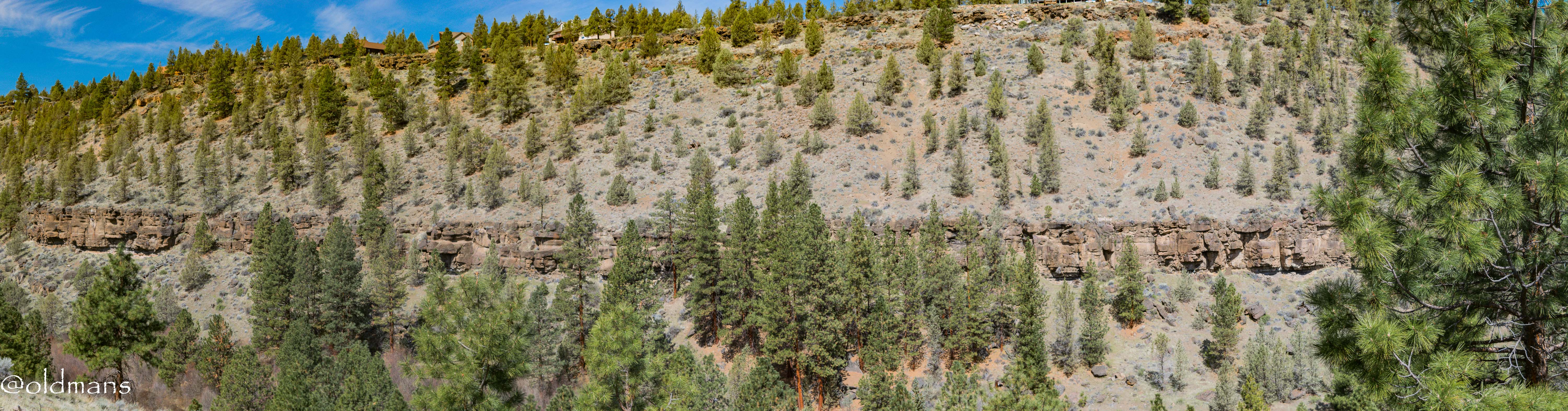
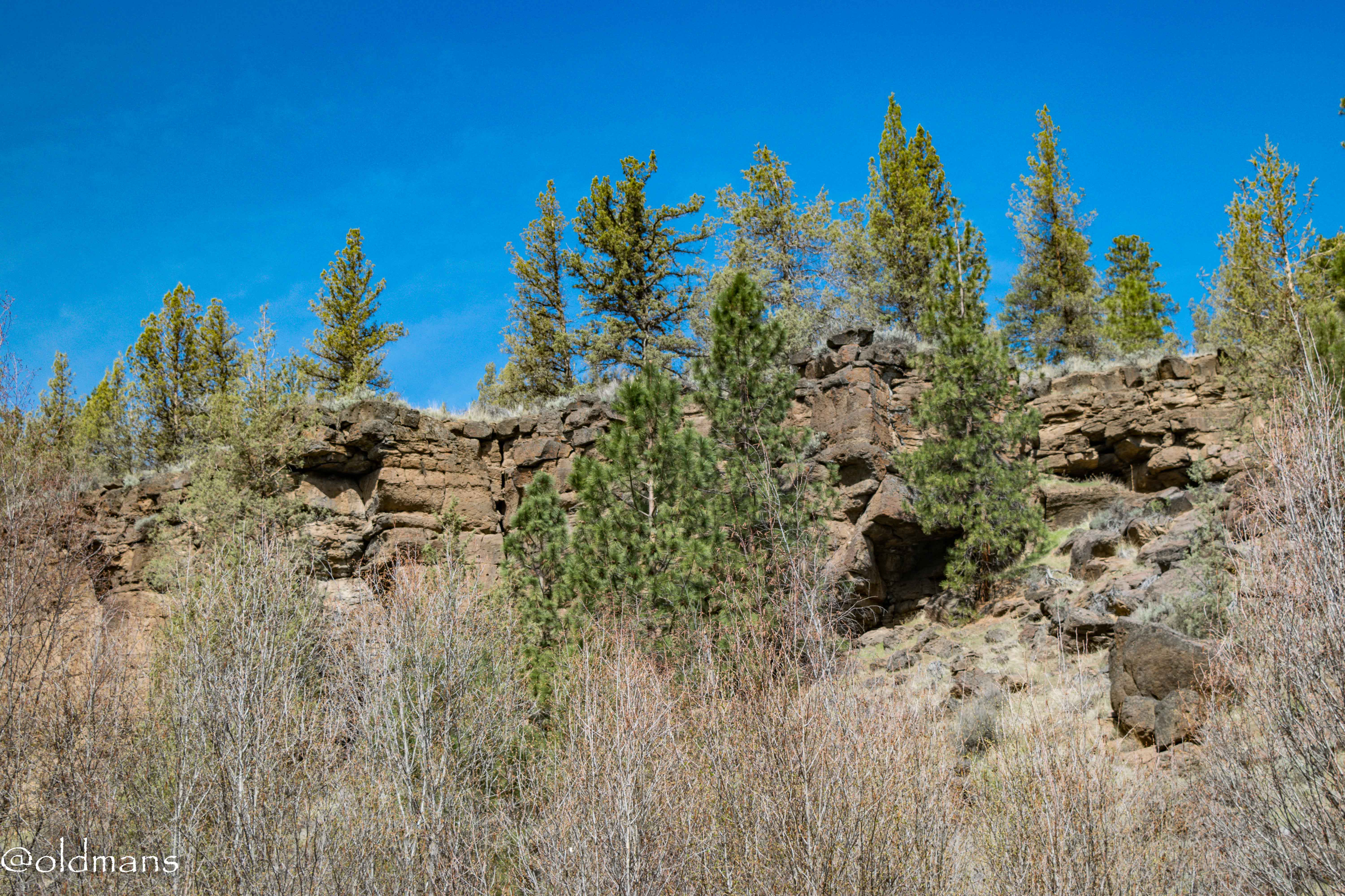
I am about halfway down and here are two shots of the exposed rim rock on the other side.
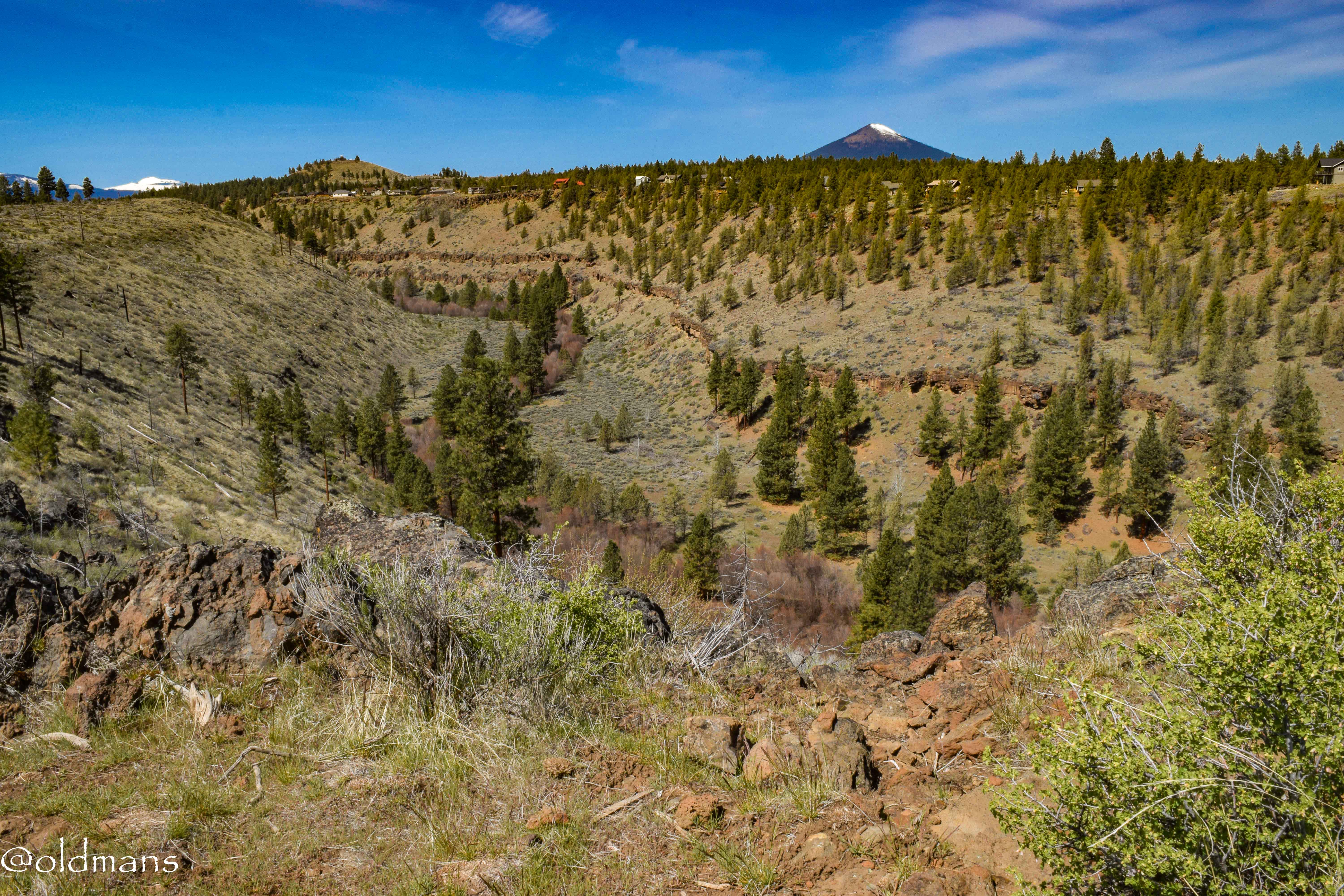
Looking east down the canyon.
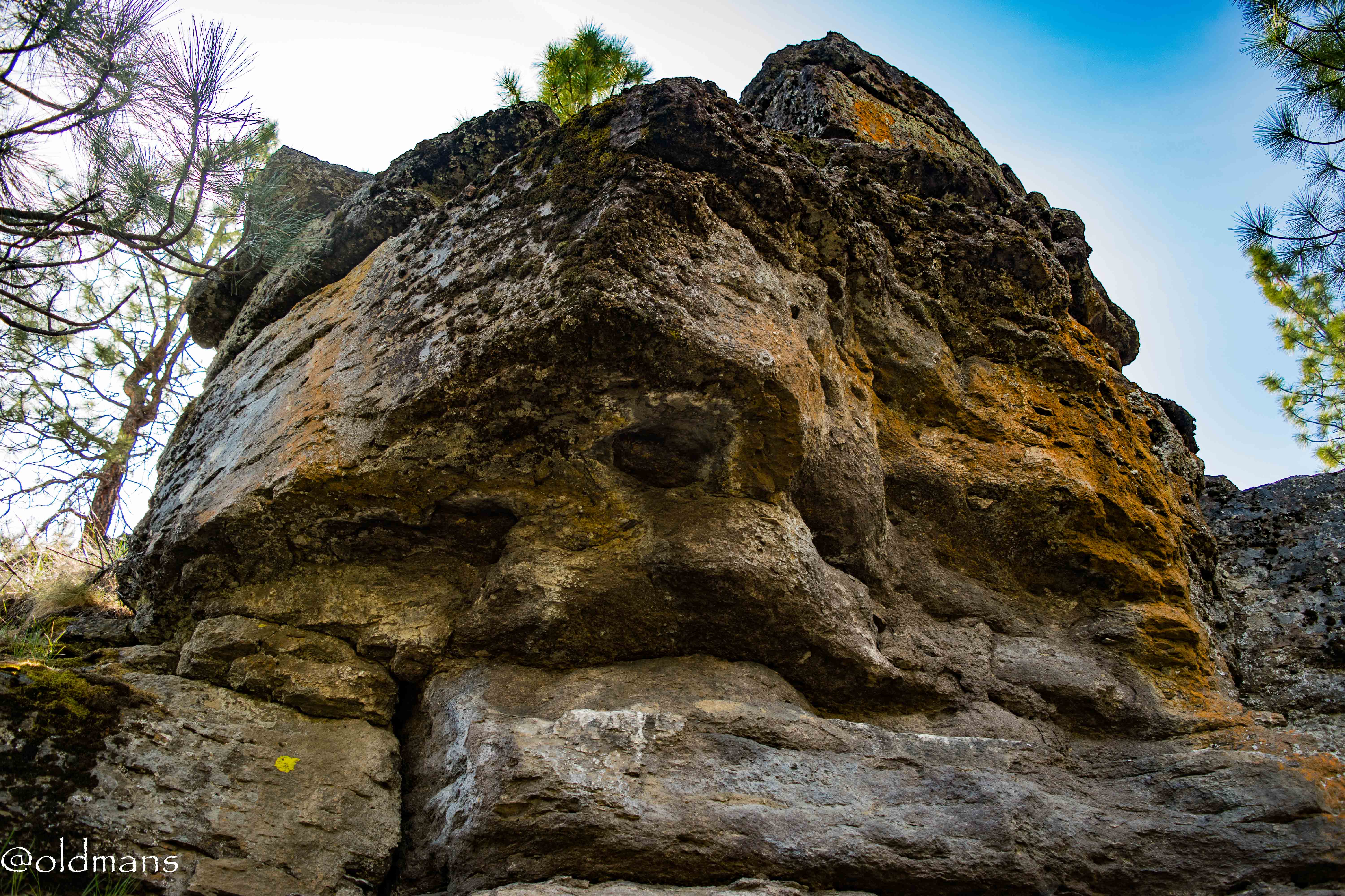
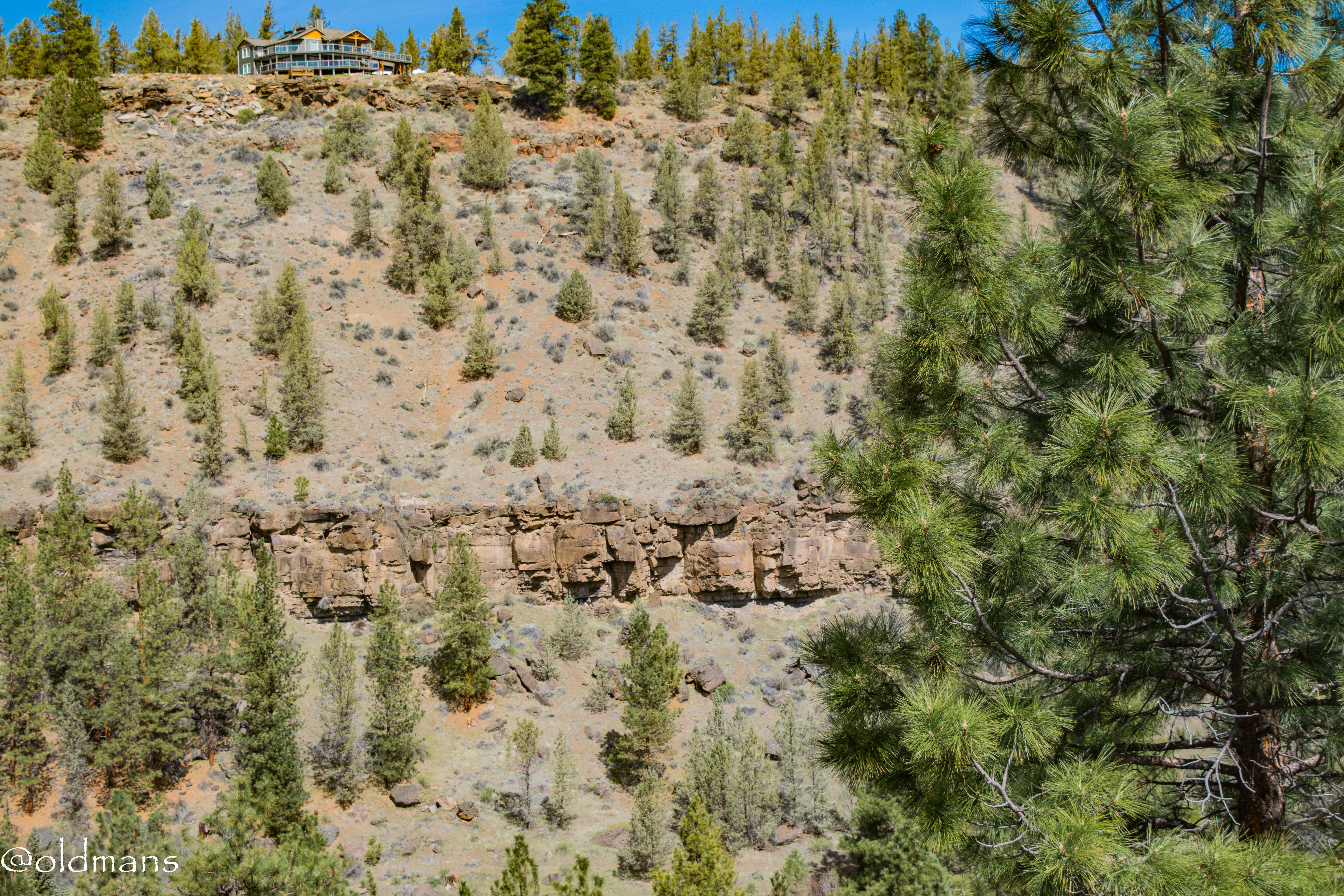
Some of the exposed rim rock on my side of the canyon. I love the different colors and textures. A real rock hounds delight. :)
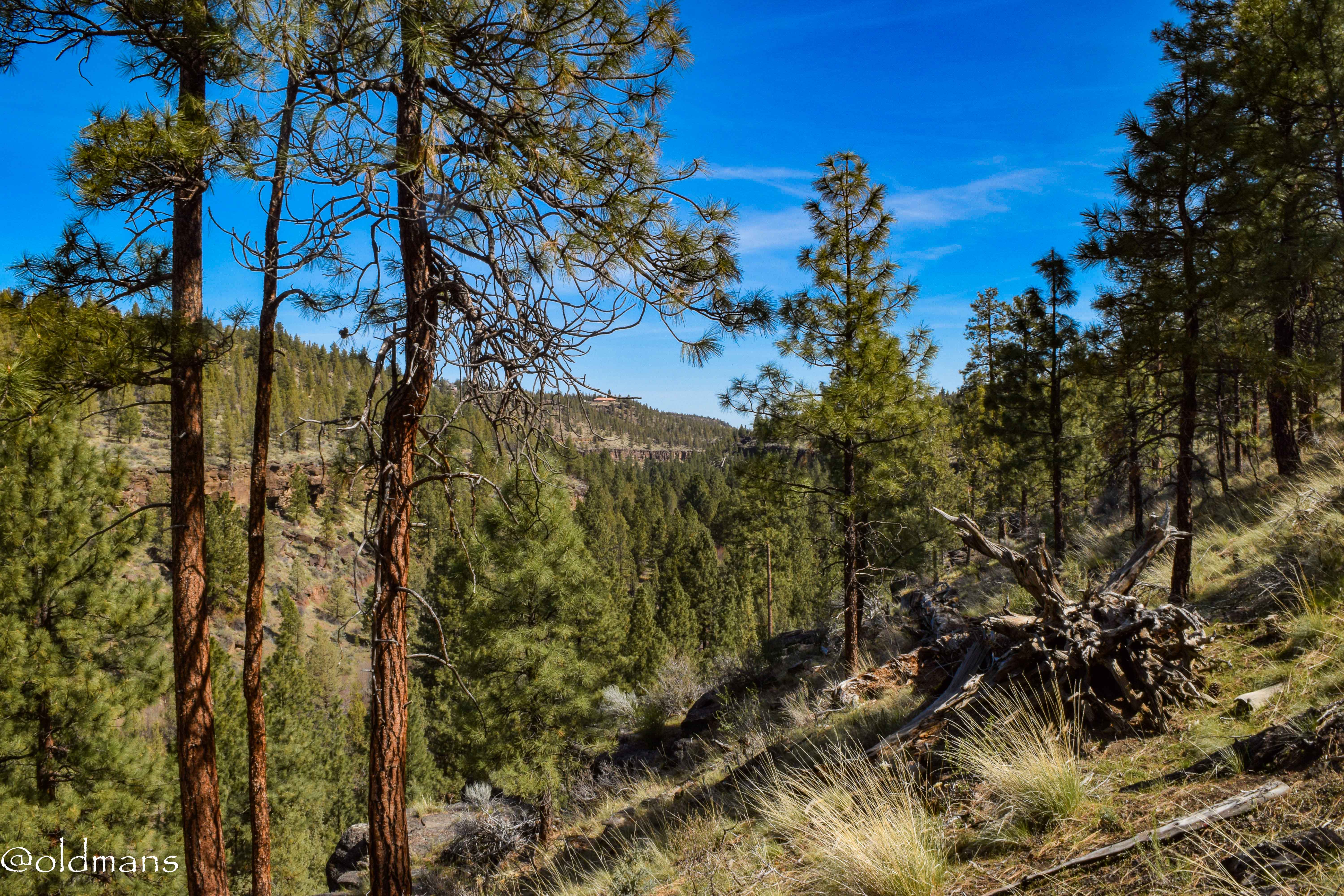
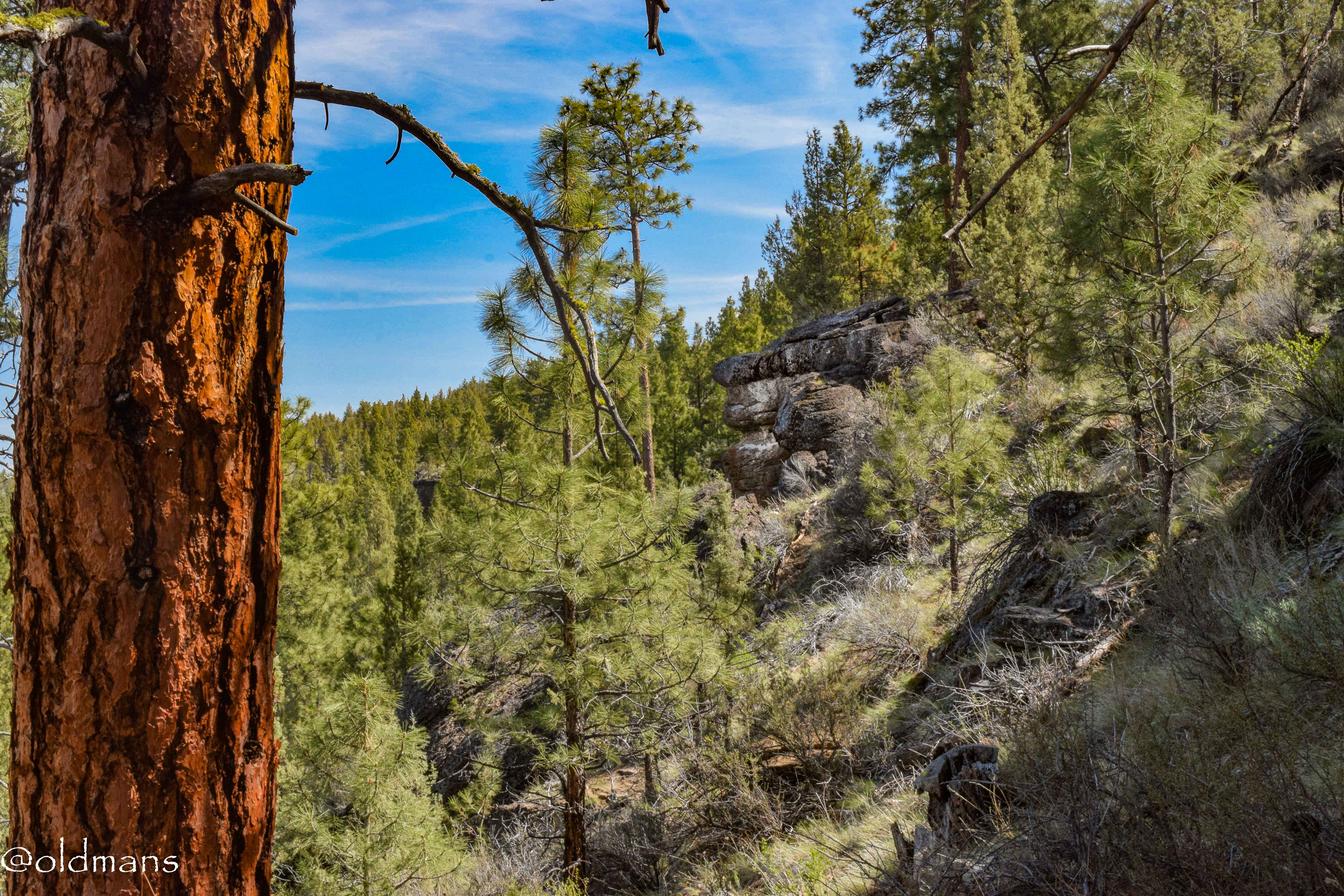
Almost to the bottom.
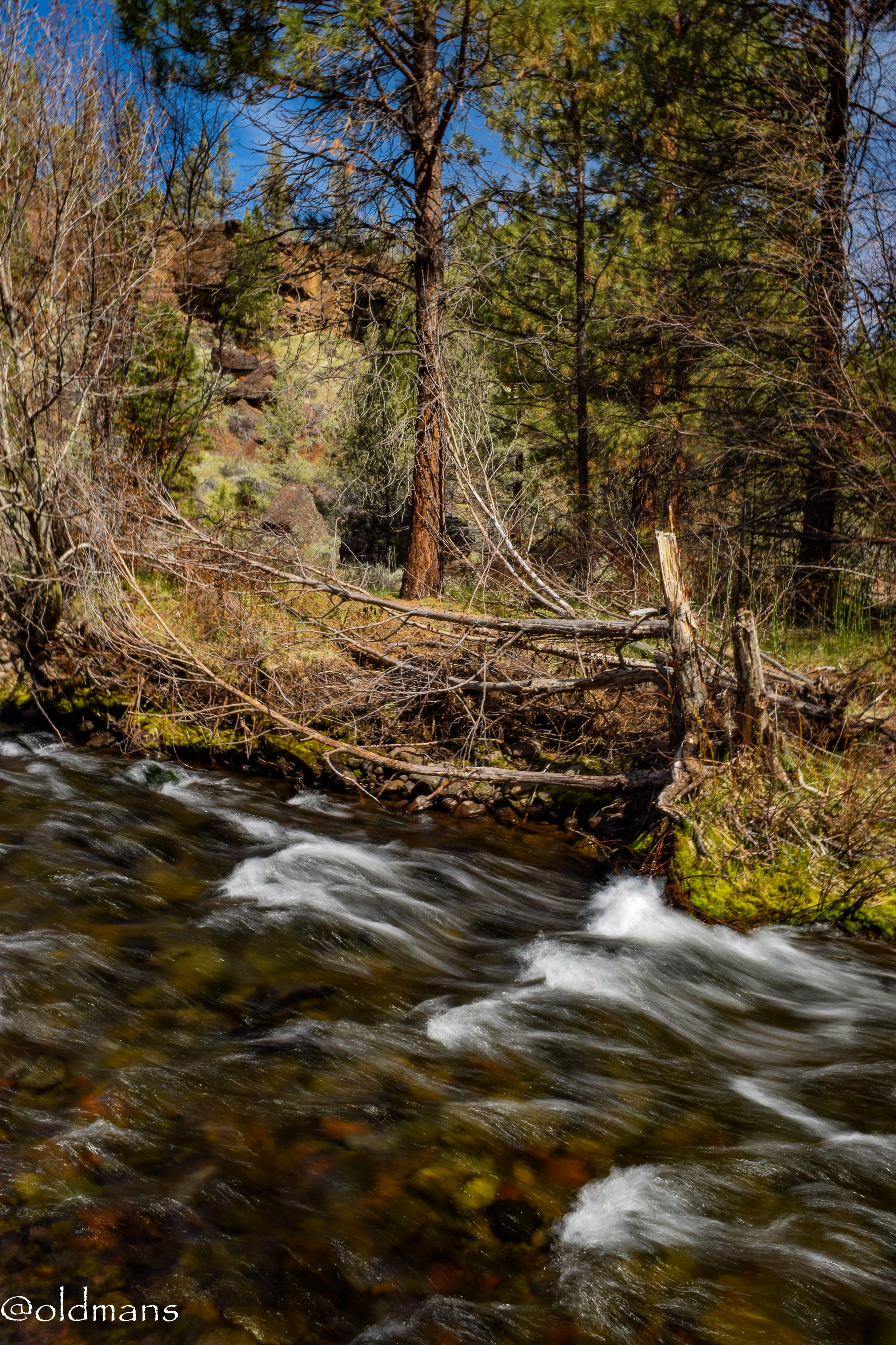
Finally at the bottom. Time to enjoy a little snack and immerse myself in the sights and sounds of nature for a while.
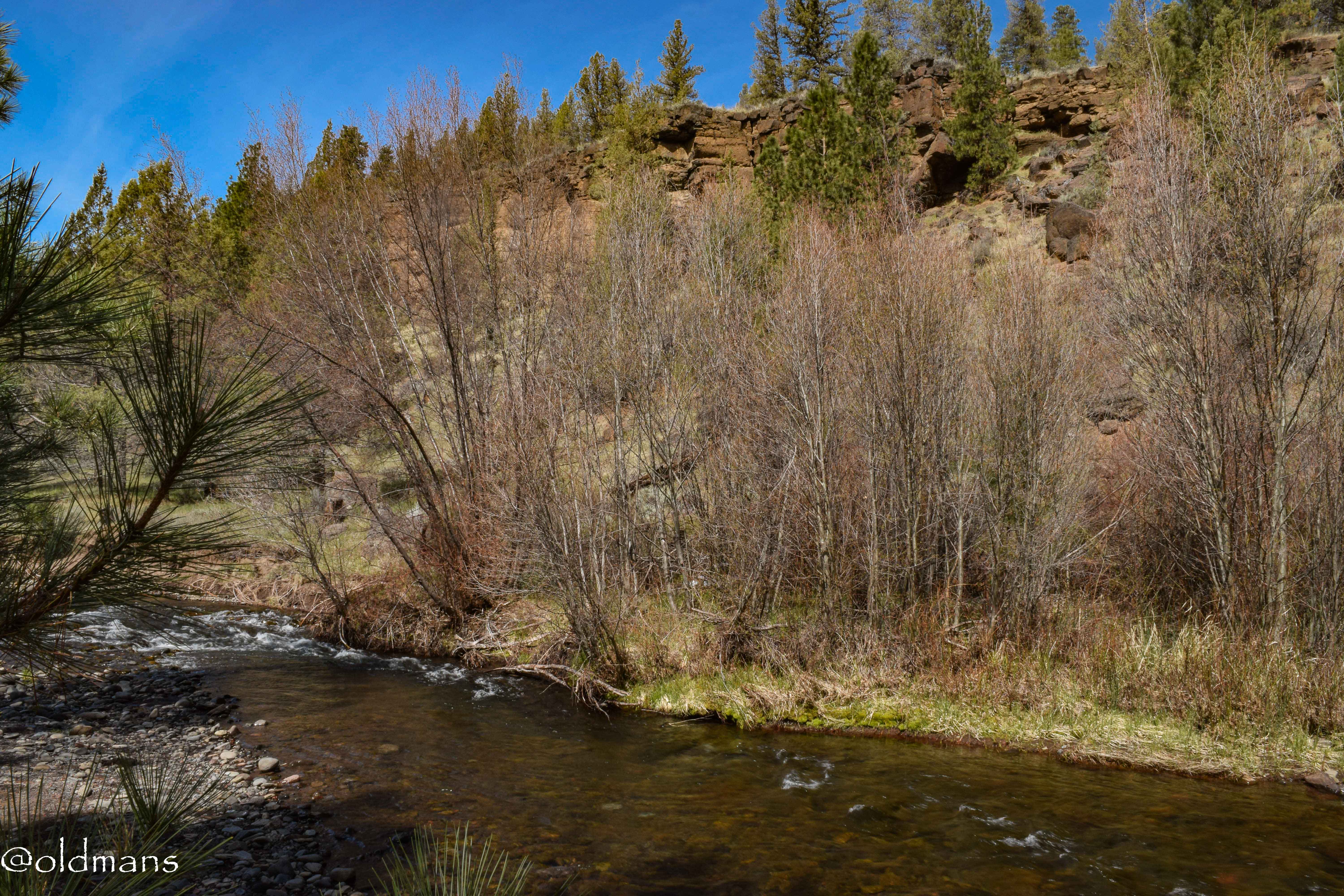
A final look at some of the rocks on the opposite side of the creek before I begin my ascent out of the canyon.
This shot is from a hike I did there 6 months earlier. It is at the east end of the preserve and shows the creek winding its way to the Deschutes River.
Click images for larger view
Photos taken by me, @oldmans, with a Nikon D3300 with some Lightroom post processing.
Thanks for looking and enjoy your day!
That's an impressive landscape. I'm amazed.
It is some beautiful scenery. Thank you for stopping by. :)
@tipu curate
Posted using Partiko Android
Upvoted 👌 (Mana: 0/10 - need recharge?)
Thank you!
oh wow
almost as if i was watching an old movie
nice scenery and the river too!
It does have that old west Oregon Trail vibe. Part of the trails in the preserve actually follow the Santiam Wagon Road built in 1861. https://en.wikipedia.org/wiki/Santiam_Wagon_Road
Santiam Wagon Road
The Santiam Wagon Road was a freight route in the U.S. state of Oregon between the Willamette Valley and Central Oregon regions from 1865 to the 1930s. It is considered one of the most important historical routes in the state. Officially known as the Willamette Valley and Cascade Mountain Wagon Road, the Santiam Wagon Road was built between 1861 and 1868 and operated as a toll road until 1915. In 1925, the road was turned over to the State of Oregon for use as a highway.
As always, I am so impressed by your photos of these great landscapes and your cool hikes - thank you for one more amazing post, @oldmans 😊
$trdo
!DERANGED
!BEER
Congratulations @johannpiber, you successfuly trended the post shared by @oldmans!
@oldmans will receive 0.39469275 TRDO & @johannpiber will get 0.26312850 TRDO curation in 3 Days from Post Created Date!
"Call TRDO, Your Comment Worth Something!"
To view or trade TRDO go to steem-engine.com
Join TRDO Discord Channel or Join TRDO Web Site
You're welcome @johannpiber and thank you for your kind words and continued support. :)
Always my pleasure @oldmans 🙂
We twin fathers have to support each other 😉
!DERANGED
!BEER
Agreed. :)
👍 !BEER
Have a great day 😉
View or trade
BEER.Hey @oldmans, here is a little bit of
BEERfrom @johannpiber for you. Enjoy it!View or trade
BEER.Hey @oldmans, here is a little bit of
BEERfrom @johannpiber for you. Enjoy it!View or trade
BEER.Hey @oldmans, here is a little bit of
BEERfrom @johannpiber for you. Enjoy it!You've been chosen to be featured in @creativecoin's 🔥DAILY BURN🔥 post!

Truly amazing shots. Thanks for taking us on your journey!
😍@carrieallen
You're welcome and thank you for the recognition and reward! Greatly appreciated. :)
Something for nature lovers. Nice pictures from interesting place. Good work.
Congratulations @oldmans! You have completed the following achievement on the Steem blockchain and have been rewarded with new badge(s) :
You can view your badges on your Steem Board and compare to others on the Steem Ranking
If you no longer want to receive notifications, reply to this comment with the word
STOPCongratulations @oldmans, your post successfully recieved 0.39469275 TRDO from below listed TRENDO callers:
To view or trade TRDO go to steem-engine.com
Join TRDO Discord Channel or Join TRDO Web Site