Exploring Kanchanaburi - Mon Village and Wild Trail
Mon Village

Mon Village is a little area behind the Jungle Rafts resort, that visitors could walk to and spend time around. The locals are quite used to the attention and have made their everyday life be a part of a tourist attraction. It was a Sunday so everyone was pretty much off work and school. The place was pretty empty but there weren’t many tourists either walking about.
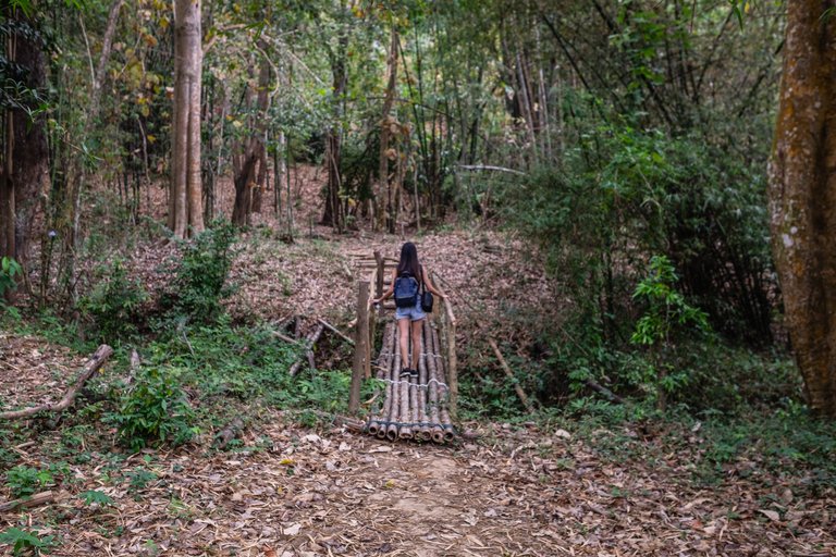
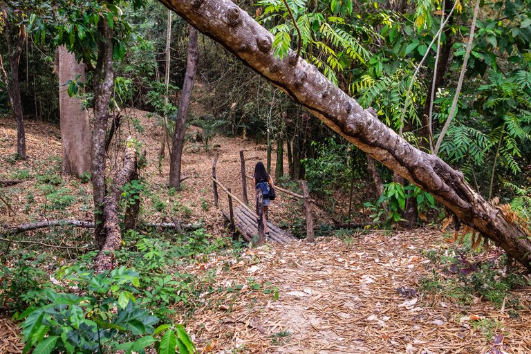
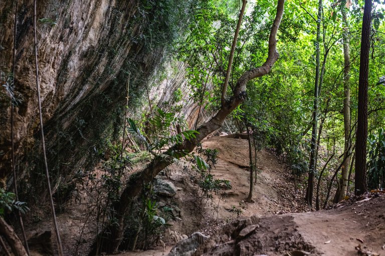
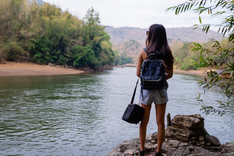
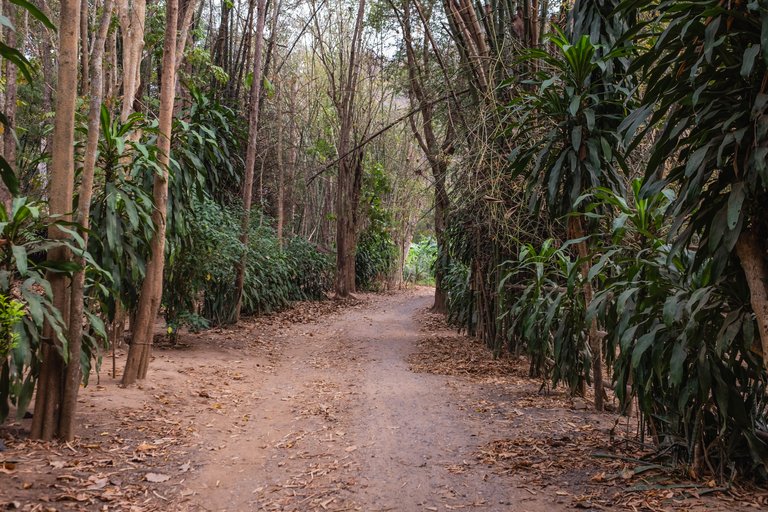
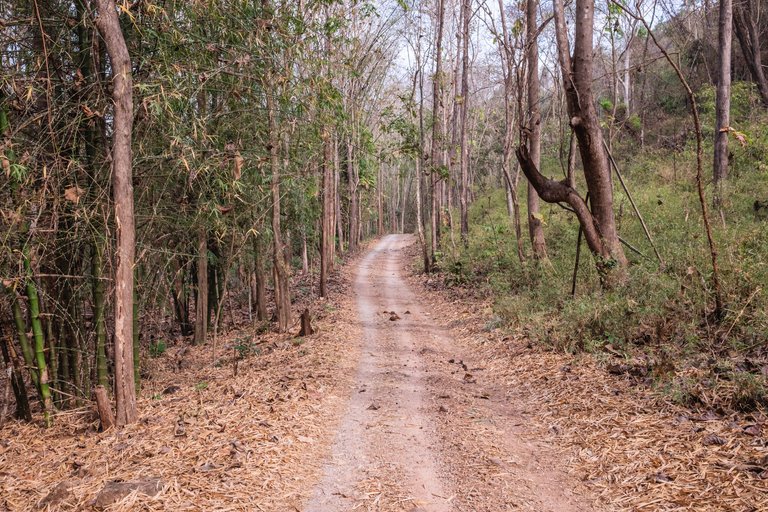
The little bridge that we fed the elephant from my last post is the path that leads towards the village. As you walk up the stairs the road splits in two. On the left you can go to the little beach area on the side or towards the village, where the right path leads towards a nice viewpoint and a cave. We stuck to the right which led us through a nature trail that was quite nice.
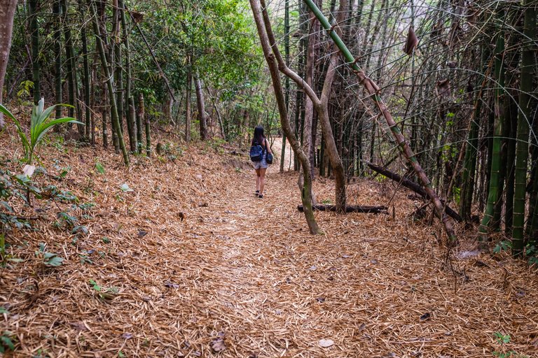
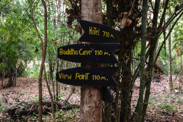
There were signs everywhere and it was really easy to navigate. We also had a photo of a drawn map from a board at our hotel.
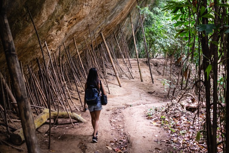
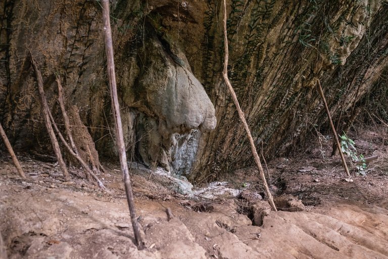
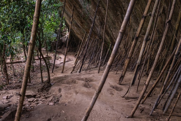
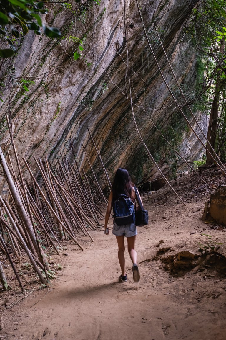
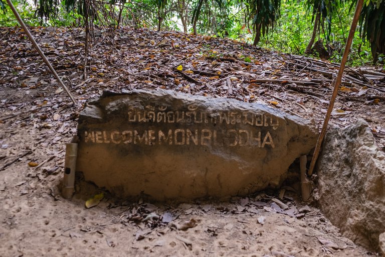
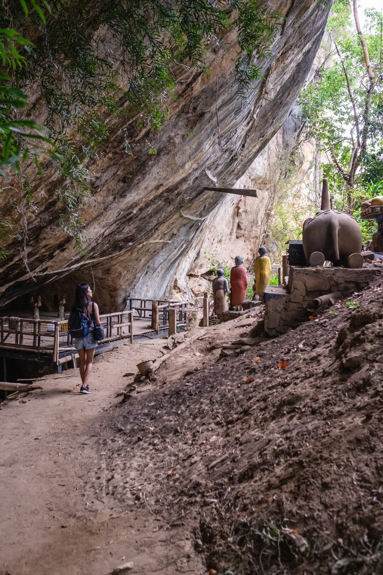
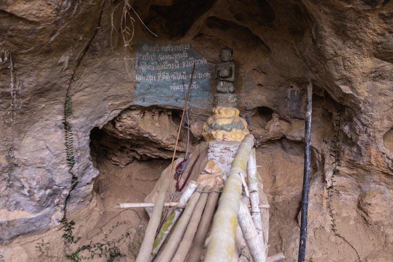
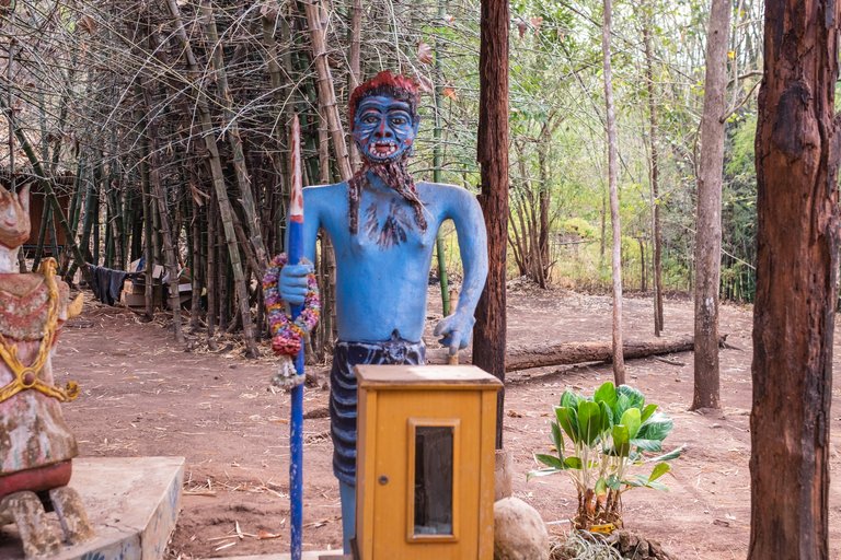
The path forked out again - one way leading towards the village and another to the cave and viewpoint. The road towards the cave was pretty interesting. They had all of these sticks set against the wall all the way through. The road led us to a small cave with statues for praying. The statues here were a bit different from the ones we’ve seen in other places.
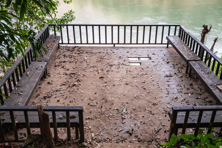
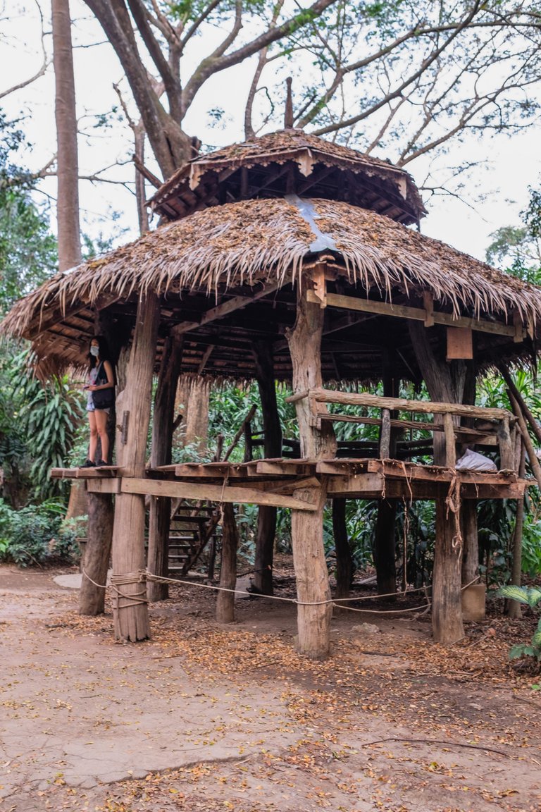
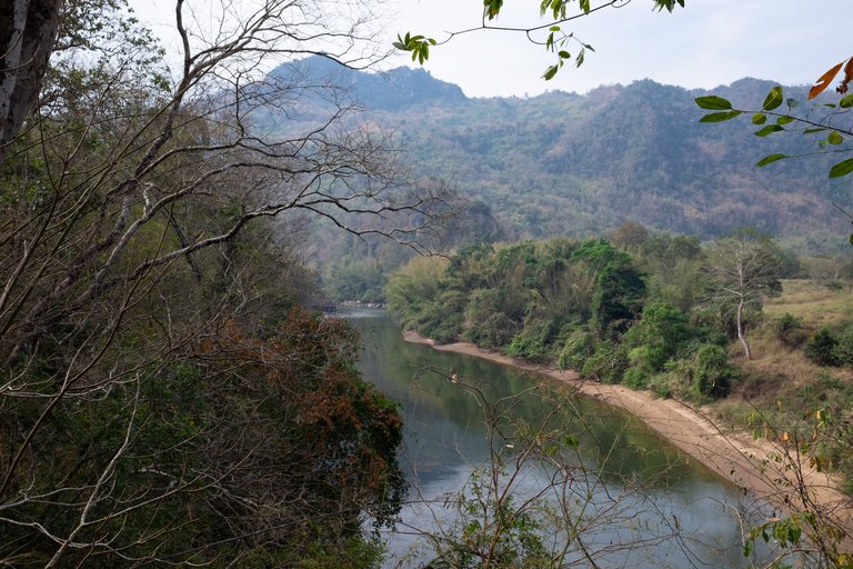
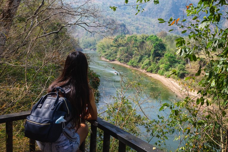
From here the road was leading towards the first viewpoint. That was one of the spots we took our drone out. We planned this one beforehand since we saw it on the way to the resort the previous day. The wooden construction felt quite stable even though you could see some holes in the middle. On the side of it we saw a small path leading down to a big rock that was right in the river. It was a bit more challenging to get down and jungle ants were attacking us while trying to take photos but it was worth it. The view there is really nice.
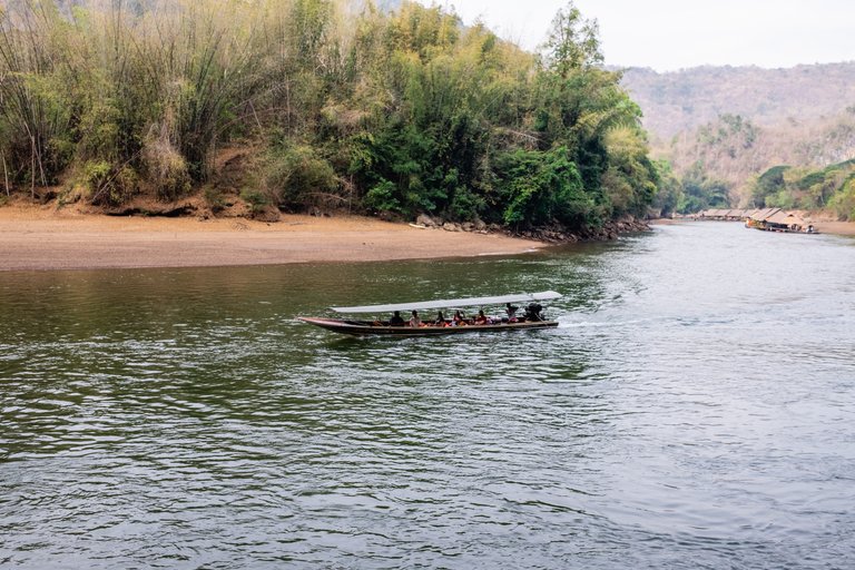
On this little 'beach' area you can see a herd buffalos some time in the afternoon. I caught a glimps of them while I was flying the dron on the first day but never got near them and didn't even know what animal it was. I was flying a bit too high at the time.
That's the rock below. It's a lot closer to the water but we didn't stay here much because the ant attacks were getting a bit too violent for our liking.
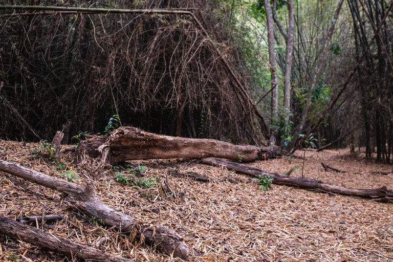
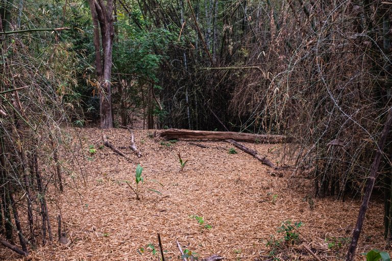
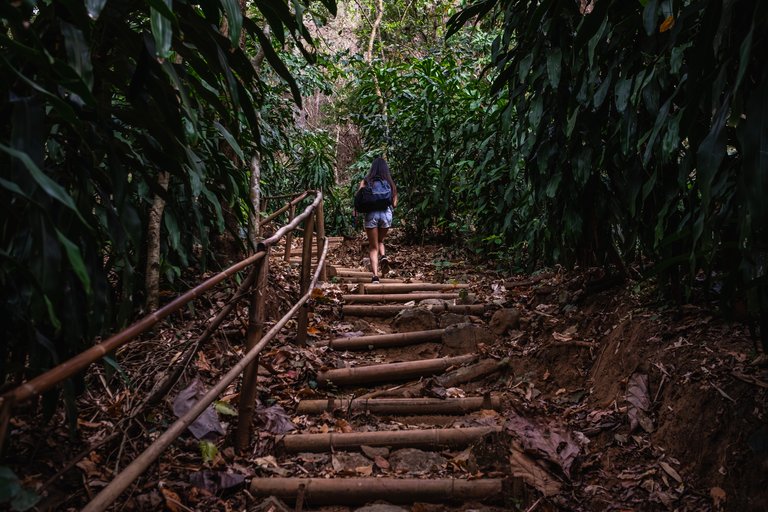
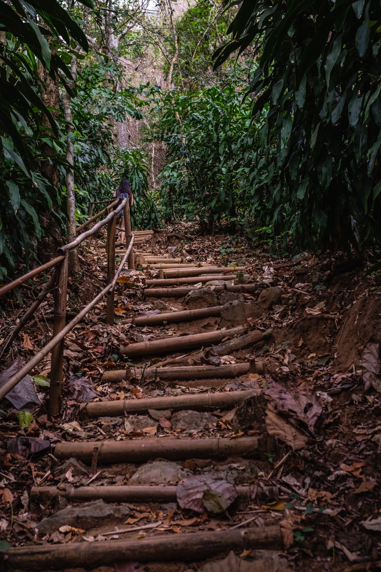
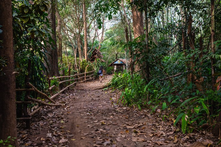
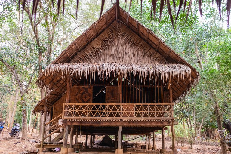
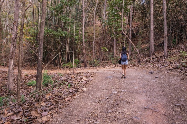
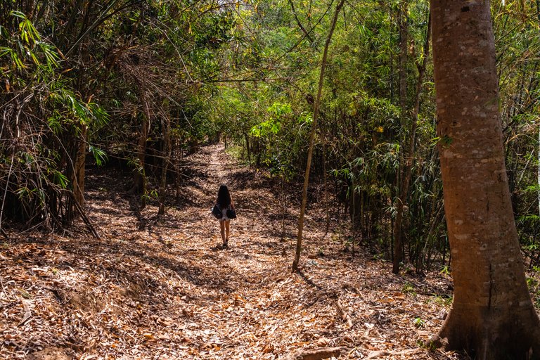
Since we had enough of this place we moved towards the village through the nature path. He road towards the village was filled with fallen leaves. It looked a lot more like a forest than a jungle at this time of year. This way led us to the school of the village.
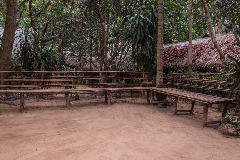
The school wasn’t in a building but fully in the open only with a roof over it and completely surrounded by nature.
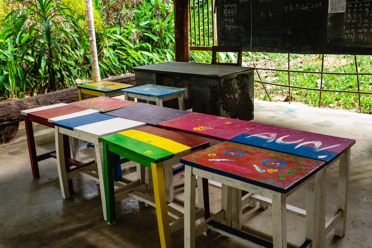
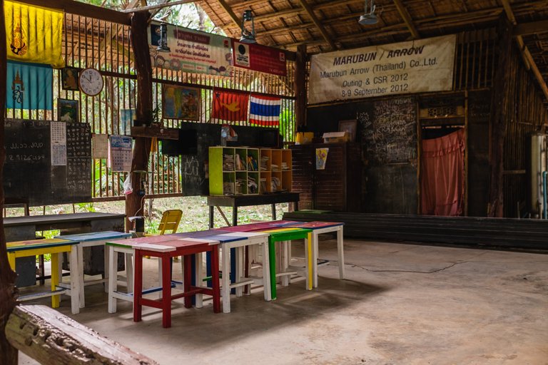
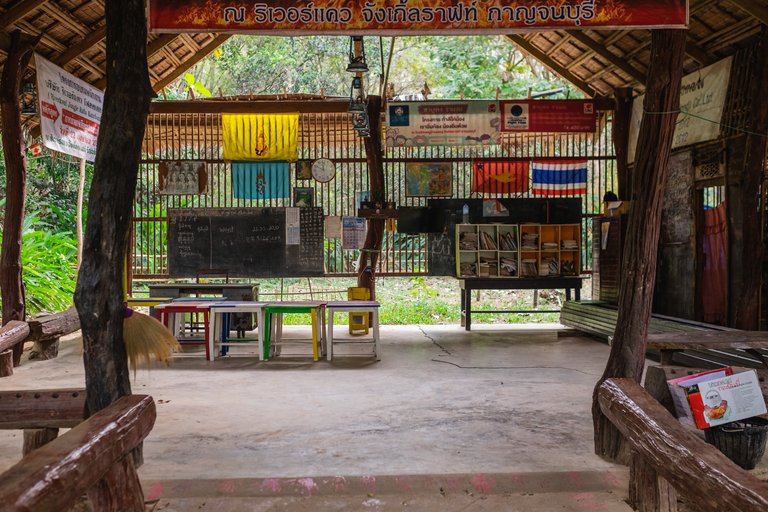
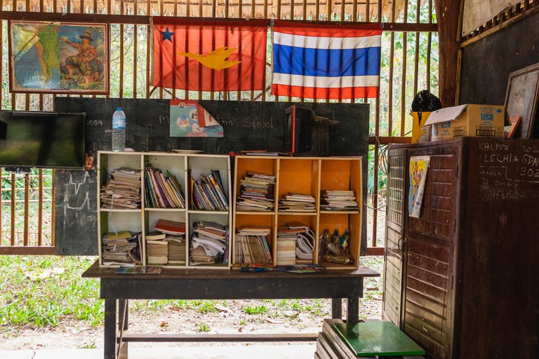
Their desks were all painted with the colors of flags of many countries. It did seem like an enjoyable place to learn even though it wasn't much if you compare it to western schools.
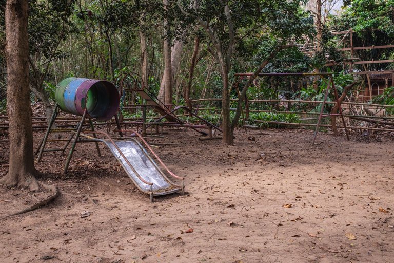
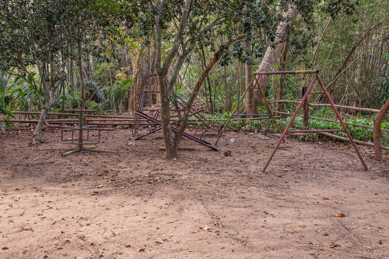
That was their outside playground. Everything around is built by the locals themselves for the most part and these weren't any exception
We followed the road forward and it got us to this long corridor forking through the whole village. It was supported by wooden frames that were holding the roof over.
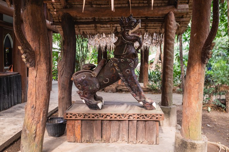
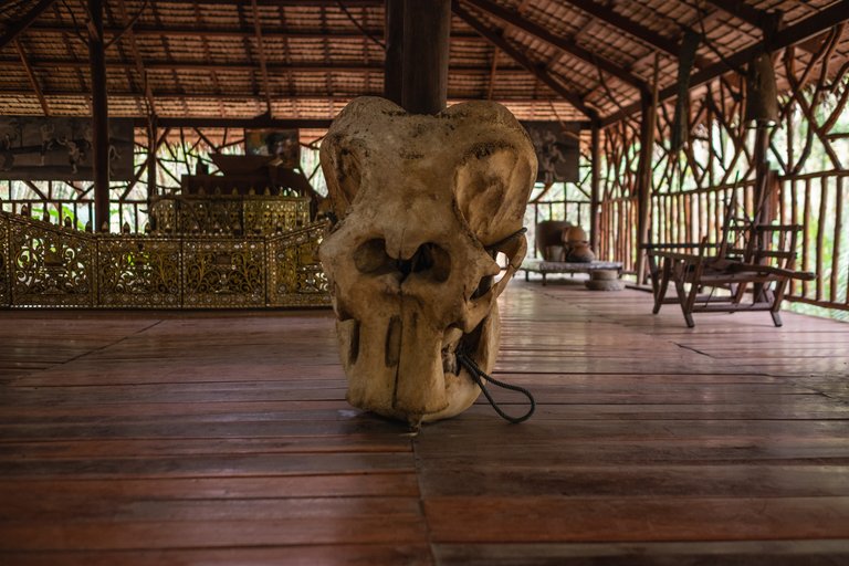
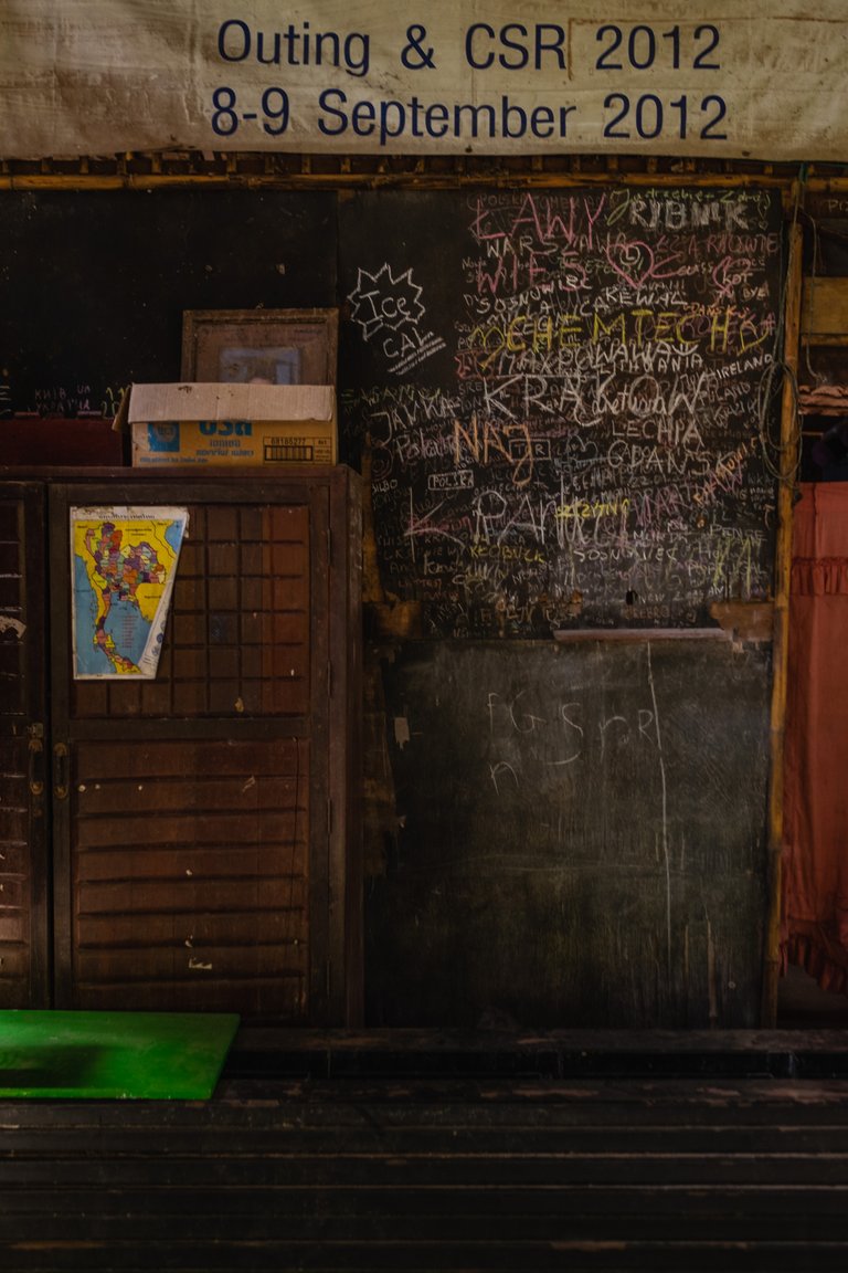
The path on one side was leading to this 'museum' like place. THey had music instruments, an elephant skull and craftsman tools on display. The whole village was pretty empty on the day we visited - from tourists and it seemed very few locals were about on Saturday.
Our next stop was the temple on the north side of the village. To get there we walked by some farmers' houses. Chicken were roaming freely everywhere and some even had small chicks with them.
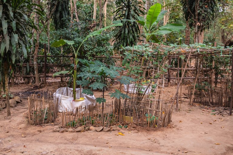
Everything around looked super clean and nice even though it was all made natural - road, surroundings etc. Not having any weird colors and plastic polution just made it look so organized.
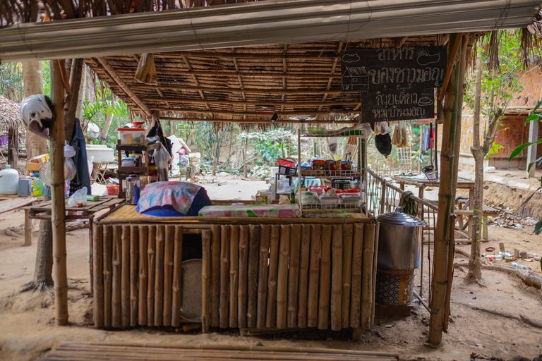
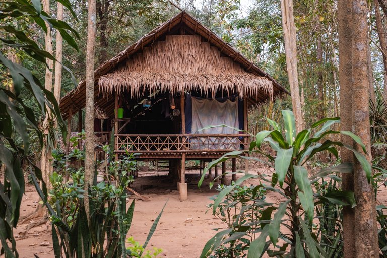
This was something like a mini bar that wasn't fully operational at this time. It was right in the middle of the village and I assume it was mostly for the tourists passing by. There were a few clothing stores as well.
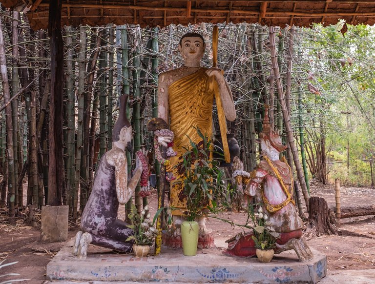
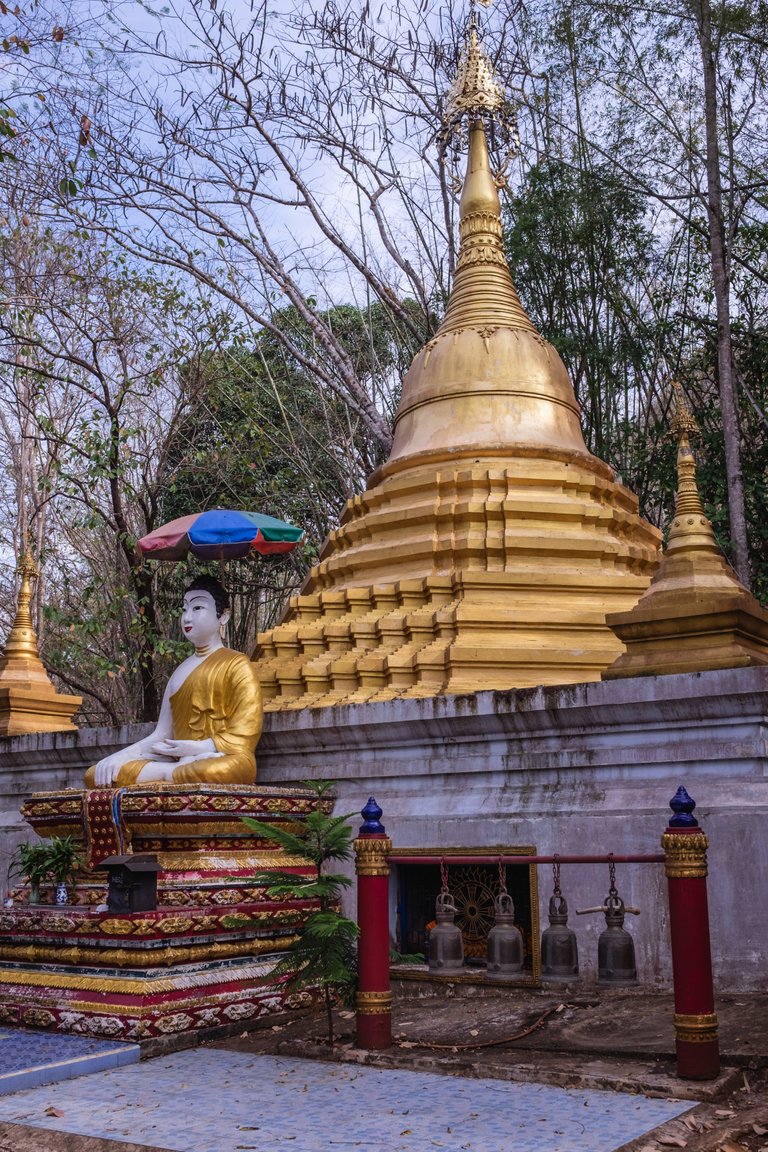
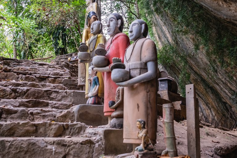
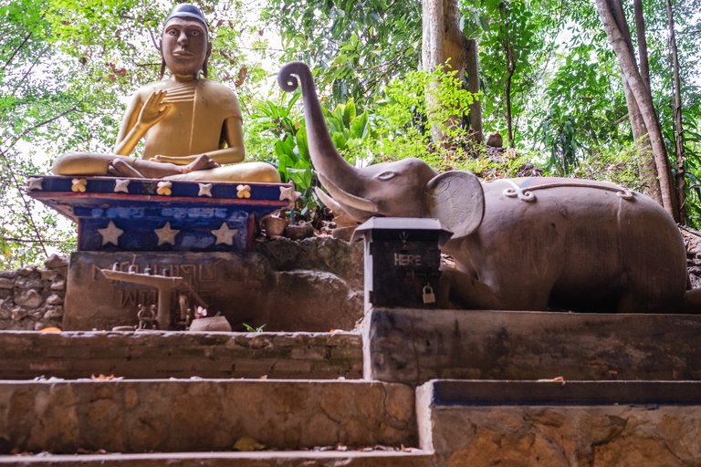
The temple was out in the open as well. The shrines the locals built were massive. From what I understood most of the money donated to or made by the villagers go towards building parts of the temple and sacred areas around.
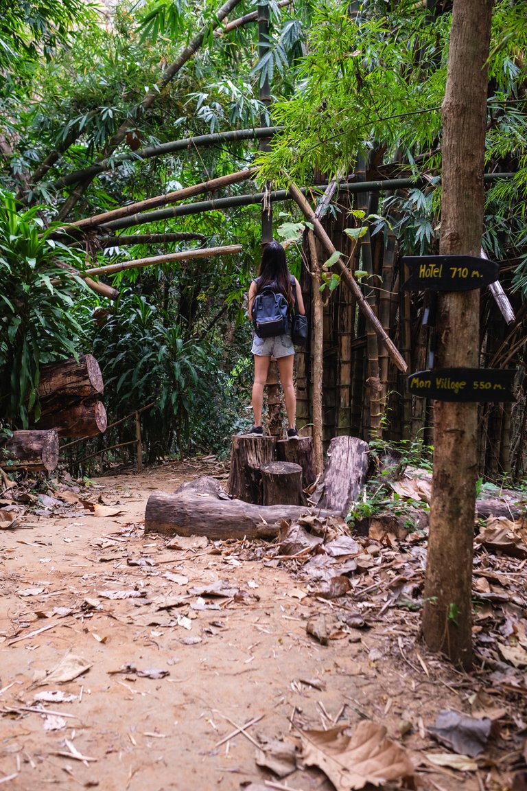
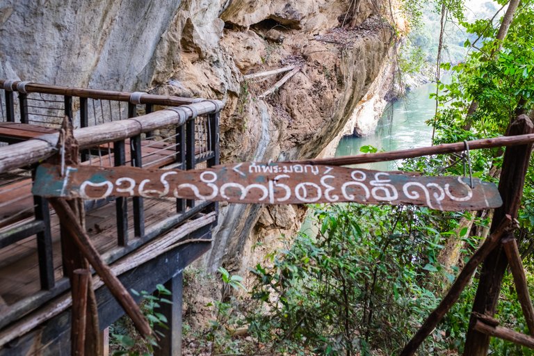
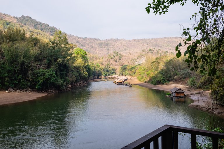
We were told that we could walk to a resort nearby that is owned by the same owner as the jungle rafts. On the way there was one more stop we had to make - the second viewpoint which was at the other side of the village, opposite the first one.
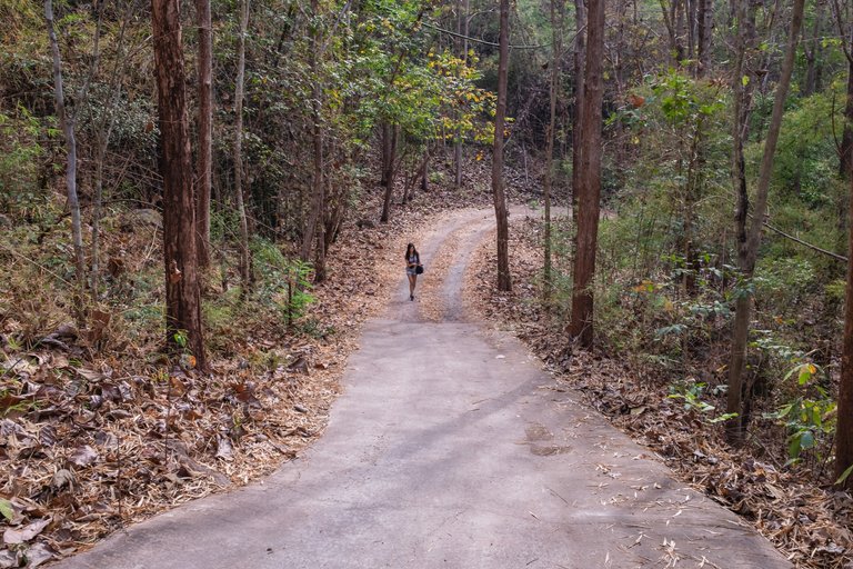
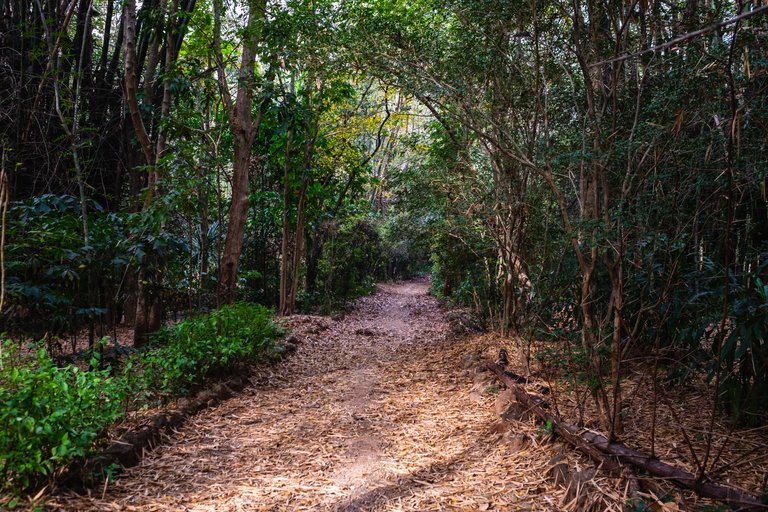
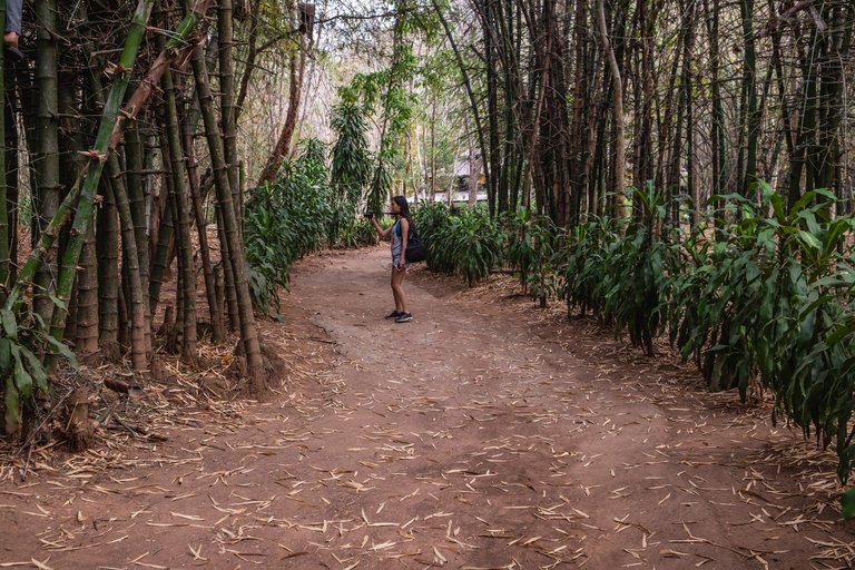
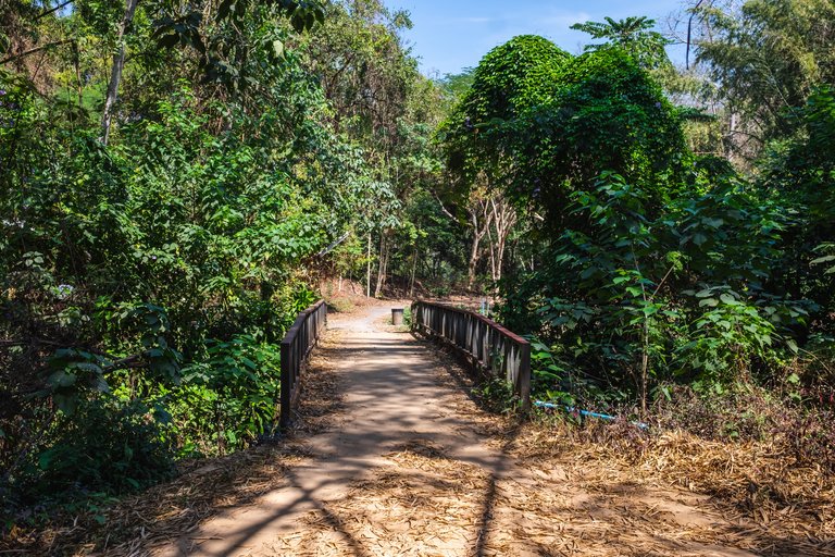
The path was the same picturesque nature trail.
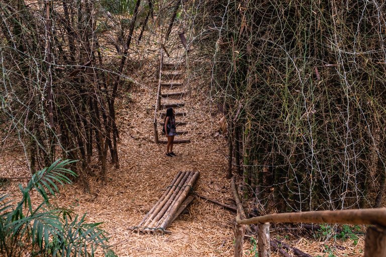
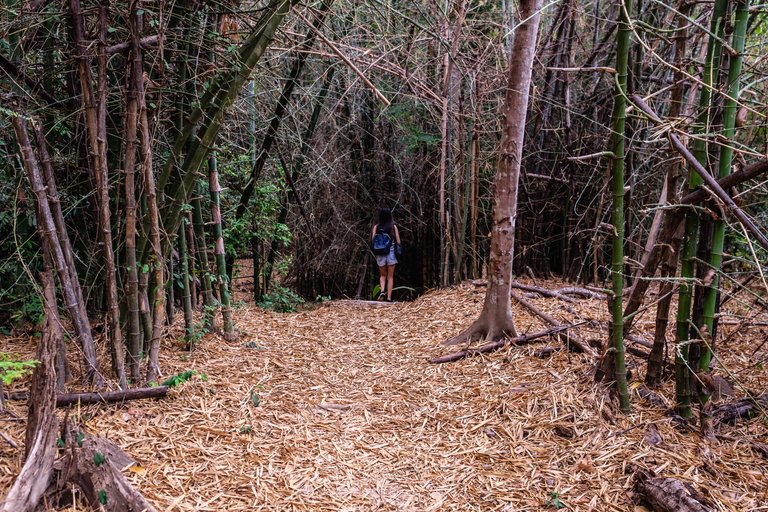
It was a beautiful viewpoint that was a bit more hidden than the previous one. We actually missed the road and had to come back because the path was covered in fallen leaves.
This viewpoint was built the same way as the other one and surrounded by trees. We did use the opportunity to fly our drone here as well for a bit. After that we headed to what we thought was the road towards the other resort.
So the main road was leading towards a cemented path that was really proper uphill. Locals were driving motorcycles on it and no one seemed to be walking up. We decided to walk up and see where it leads, thinking that it surely would take us to the place we wanted to see. After 2-3km uphill, our legs were killing us. We were carrying two cameras and a drone so the climb was even more tyring. One good thing about going up was that the phone cover was on and we could actually check where we are. Turned out the road we took is for cars and motorcycles only and is super long, leading to a motorway.
Pretty tired we finally came back down and found the right way towards the nearby resort. We stopped there to have lunch.
This was finally the right way towards our destination.
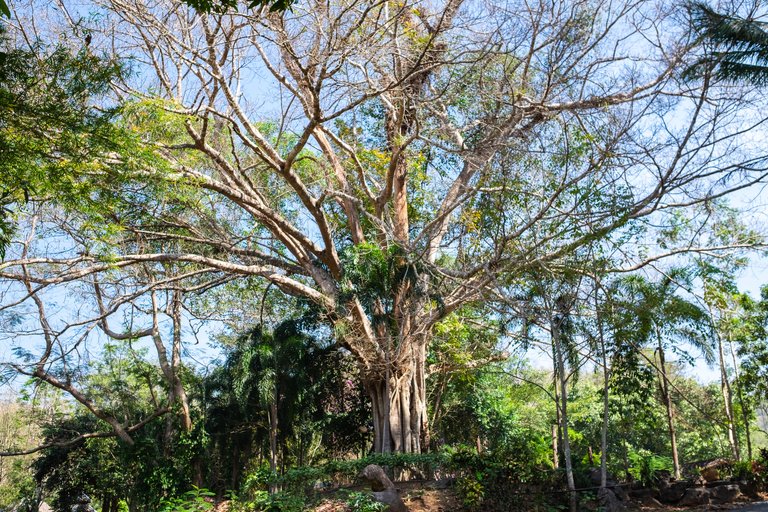
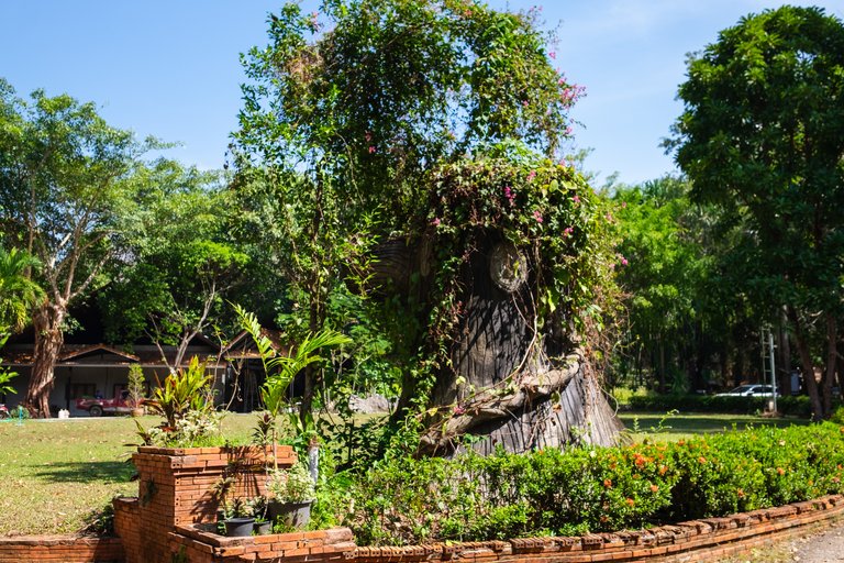
This massive tree was at the center of the resort. Don't think the picture really shows how huge it was but it must be at least a few hundred years old.
This was the view from our table where we had lunch. The restaurant was empty and the food very nice. The view was also pretty nice.
This is the road on our way back. We walked from a different side of the village this time.
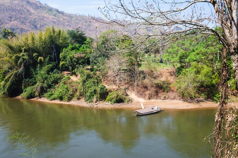
Near the resort we went to there were two interesting places to visit but we were too tired to get to both. We decided to go the a waterfall we knew is nearby - 1km uphill(again.. my poor legs). And we asked a few of the locals for directions.. they did gave us the right directons but forgot to mention that the waterfall is completely dry at this time of they year. That was the last bit of strength we had in us and it was already afternoon so we decided to get back before sunset for some more photos and videos with the drone.
Congratulations, your post has been added to Pinmapple! 🎉🥳🍍
Did you know you have your own profile map?
And every post has their own map too!
Want to have your post on the map too?
Holy cow, dis place is so cool!
Yeah it is pretty amazing!
What an awesome environment to be schooled in. A far cry from city life. It's like another world there. Really beautiful!!
JOIN US ON DISCORD
SUBSCRIBE TO THE LIFESTYLE LOUNGE COMMUNITY HERE
JOIN US ON TWITTER
It is pretty wild for sure. Makes you think about how much we have and appreciate it even more!
So true hey!
what a fascinating trek 😃 thank you for taking us on an adventure!

https://d.buzz
Glad you enjoyed it and thanks for stopping by! ^^
Looks like an amazing place for a nice hike. Tons of great shots as always. Have a nice weekend guys :)
@tipu curate
Upvoted 👌 (Mana: 39/78) Liquid rewards.
Thank you! Have a good one too! ^^
Hiya, @LivingUKTaiwan here, just swinging by to let you know that this post made it into our Top 3 in Daily Travel Digest #1128.
Your post has been manually curated by the @pinmapple team. If you like what we're doing, please drop by to check out all the rest of today's great posts and consider supporting other authors like yourself and us so we can keep the project going!
Become part of our travel community:
Hi @george-topalov, your post has been upvoted by @bdcommunity courtesy of @rehan12!
Support us by voting as a Hive Witness and/or by delegating HIVE POWER.
JOIN US ON
Congratulations @george-topalov! You have completed the following achievement on the Hive blockchain and have been rewarded with new badge(s) :
Your next payout target is 3000 HP.
The unit is Hive Power equivalent because your rewards can be split into HP and HBD
You can view your badges on your board and compare yourself to others in the Ranking
If you no longer want to receive notifications, reply to this comment with the word
STOPCheck out the last post from @hivebuzz: