Land Measurement Activities (Field Observations)
Hii Guys...

How to calculate the land area can be taken with various steps. Whether it's the manual way to use the meter, a ruler, even with the sophisticated way of using Google Maps.
Since the purpose of measuring land area is very important, this work should not be done carelessly.
Because, if there is a slight error, it can affect the calculation of costs to be incurred.
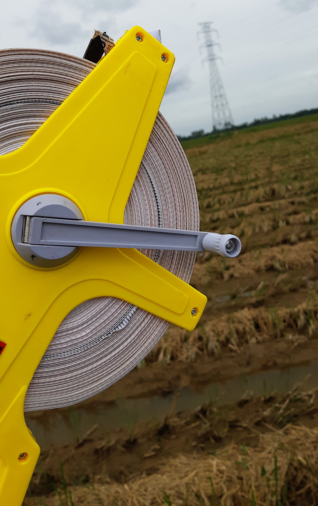
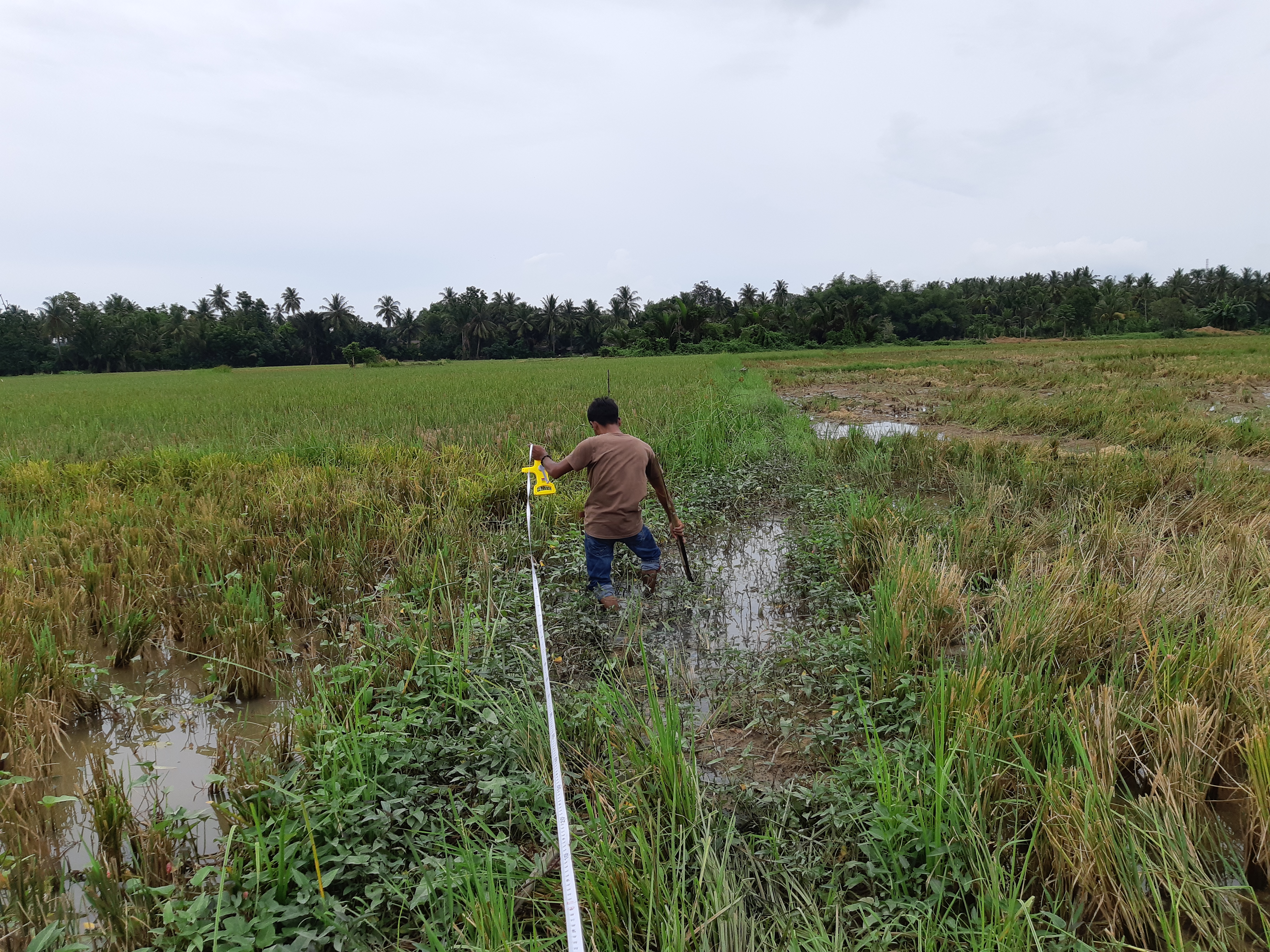
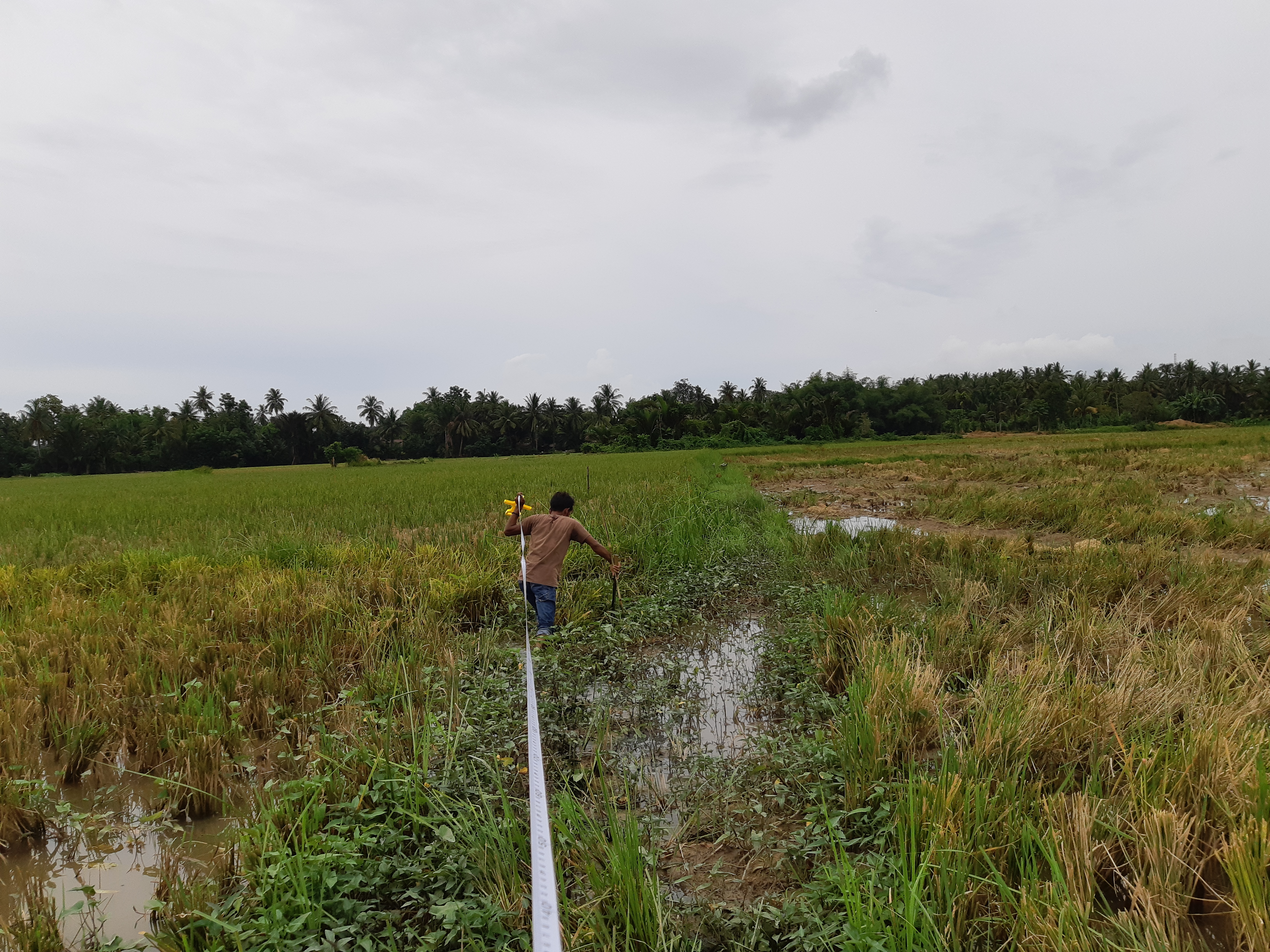
Today I took measurements with my friend (team) using only the meter manually. Conduct surveys directly to the field and make observations before carrying out a project or activity.
The way that I use is still traditional (manual), without using sophisticated technology as it is today, like Google Maps or using GIS application technology (Geographyic Information System).
The tools that I use in measuring land area / length include:
• Measuring tape has a length of 100 meters
• Stakes (can be of bamboo or wood)
• Notebook (for recording the measurement results)
• Ruler (for making simple sketches)
• Pencil / Ballpoint (for notes)
• Eraser (to delete if a note is made)
The methods I use above are simple land measurement methods that are often done in the community, without using modern tools such as Theodolite, Spirit Level, Total Station, EDM or other sophisticated tools.
However, with the limitations of existing tools we are also still able to calculate the existing land area.
The most important thing is that I really enjoy the cool natural surroundings and can spoil my eyes.


Best Regards: