Exploring Recherche Bay, Tasmanian Wilderness World Heritage Area
The most southerly point in Australia reachable by road is Cockle Creek on Recherche Bay, Tasmania. That's where we are going today. Recherche Bay is a popular place for camping and hiking.
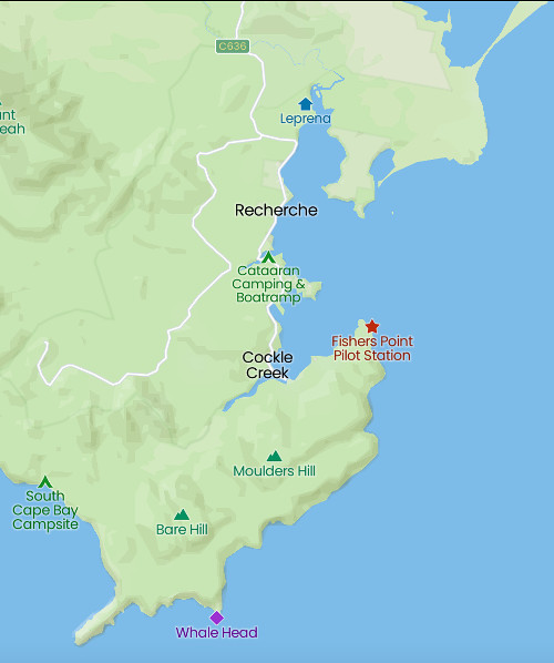
It is also a place with an interesting history. Located in the most southeastern corner of Tasmania, it sits on the edge of Southwest National Park in the Tasmanian Wilderness Heritage Area. And it's an easy two hour (148 km or 92 miles) drive south of Hobart. Just remember there are no fuel stations beyond Southport.
Cockle Creek Road road hugs the water's edge and we had planned a leisurely drive to explore the many beaches.
Did I mention it is beautiful? The first Europeans to arrive were Bruni D'Entrecasteaux and his crew in 1792. While on an expedition searching for the missing explorer, Lapérouse, they were making for Adventure Bay on Bruny Island when a severe storm hit. The weather in this area is often described as "challenging."
D'Entrecasteaux named the bay after his ship, meaning search or research. While he first described it as "a lonely harbour at the world's end," in the five weeks spent there, he grew to like it, writing in his ship's log,
None of our navigators had ever seen in their voyages so vast and safe an anchorage; all the fleets in the world might be assembled there, and still leave room to spare."
The French crew engaged in repairs, mapping, scientific work, botanical collections, and gardening (more on that later.) Unlike most ships, these ones came to study, not settle.
Labillardiere, also of the French expedition recorded his first impression of the bay,
We were filled with admiration at the sight of these ancient forests, in which the sound of an axe had never been heard.
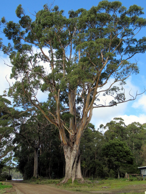
Blue gums like the one above were of great value to the early settlers.
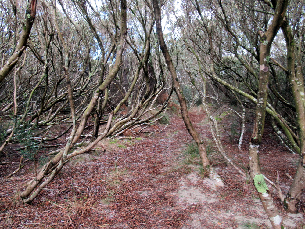
Sometimes we fought our way through scrub bush and were rewarded by the views.
Labillardiere also wrote,
Solitary in the midst of these silent woods - I felt myself penetrated with a sentiment of the grandeur of nature, which it is beyond my power to express.
You can see what he meant.
When the French crew returned a year later, their garden had been eaten by animals. In 2003, the remains of the garden were discovered and a reserve now protects the area.
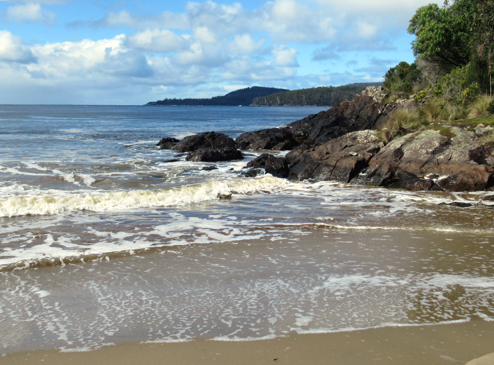
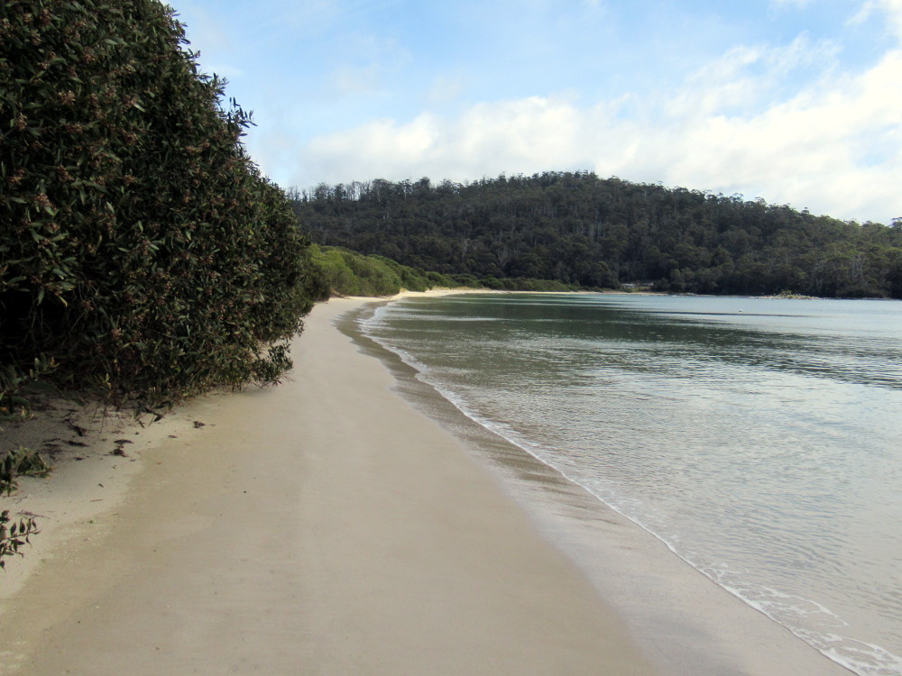
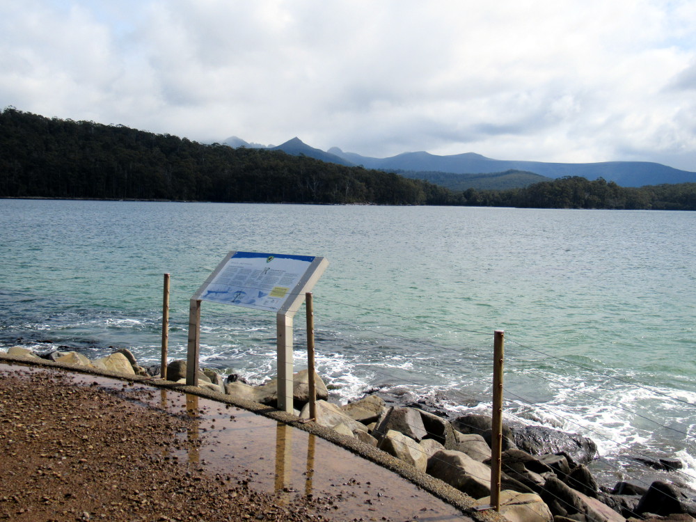
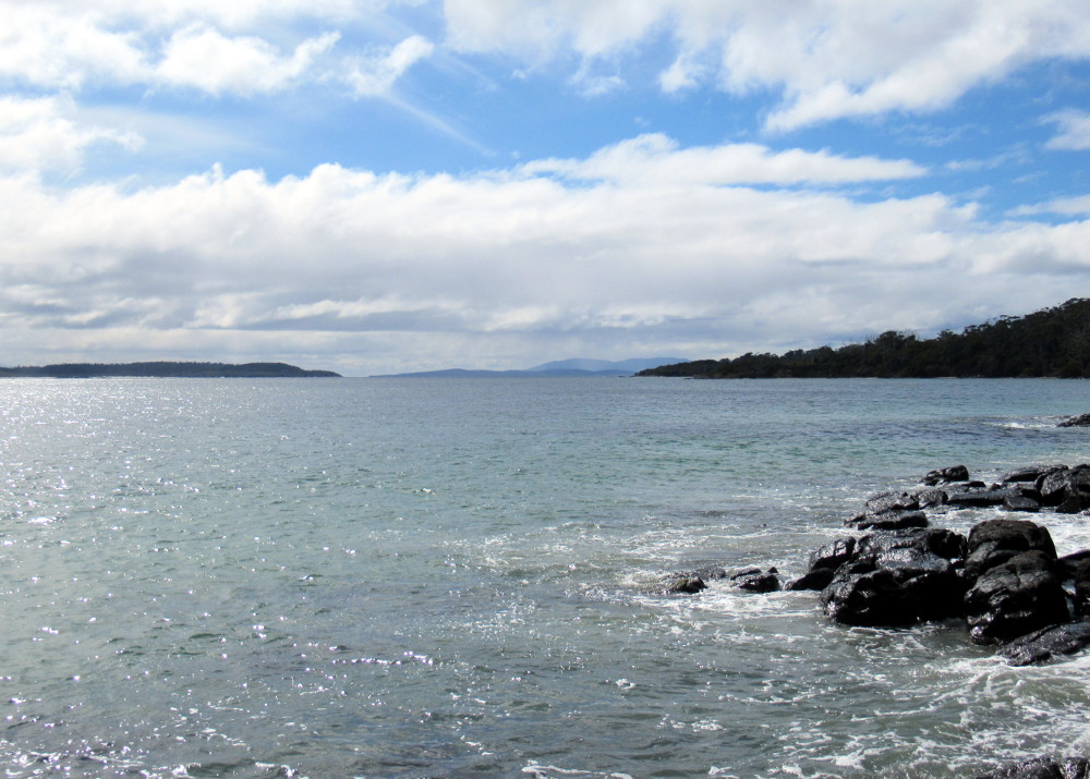
For the three photos above, I looked left, out at the bay, and right. We were the only ones there but it was winter and Covid-19 may have had an effect too.
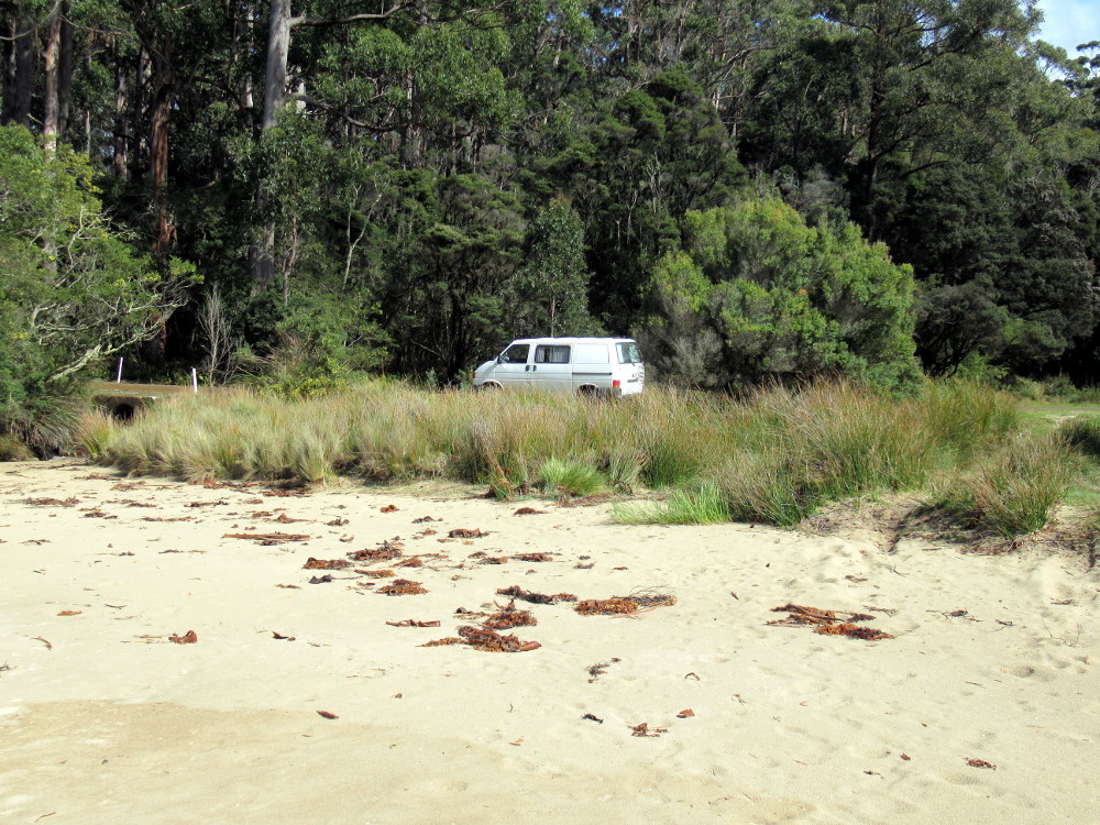
We hopped back into the van and continued exploring.
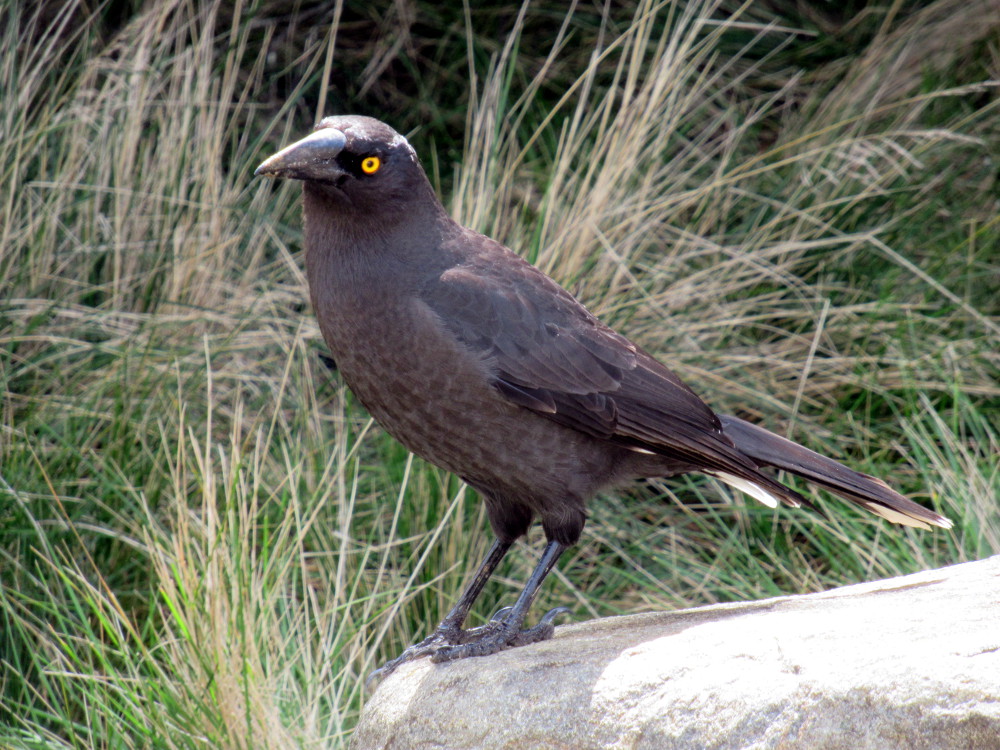
Several minutes later, we stopped to admire this guy, a black currawong, hamming it up by the roadside.
And, we've reached the end of the road!
There is not much to Cockle Creek, no stores or services, but it's an important departure point for several hikes ranging from the two hour Fishers Point Walk to the seven day South Coast Track.
It's almost difficult to believe there was once a settlement with over 2,000 residents. Today, you can still see Aboriginal sites, abandoned tramways, ruins, and a cemetery.
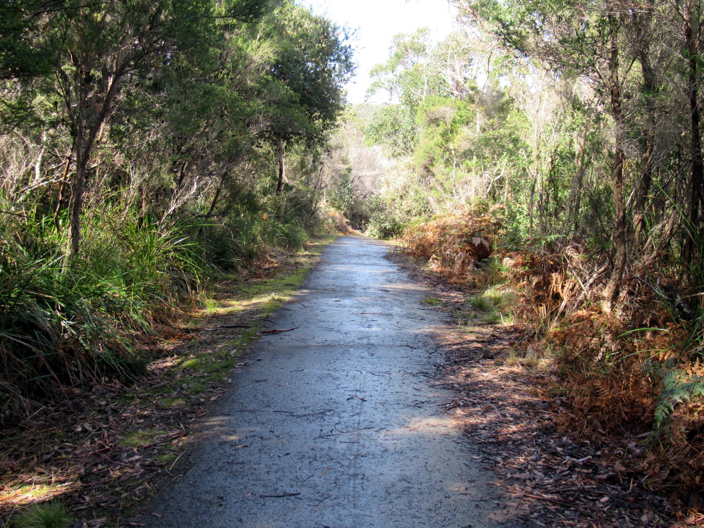
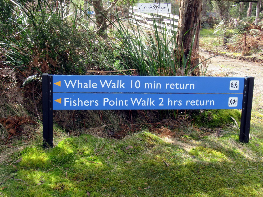
We set off towards the Whale Walk and were surprised to encounter a paved path.
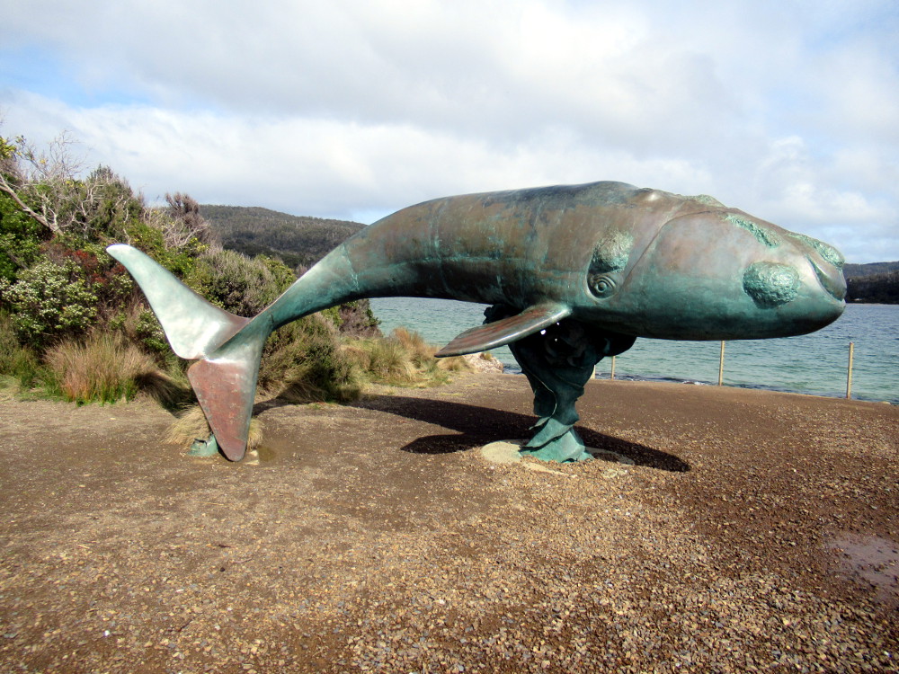
It took us to a circle of gravel with a life-size sculpture of a three-month-old southern right whale, so-called because they were the "right" whale to hunt.
As the whale population in the Hobart area declined, sealers, whalers and loggers moved to this area and it became an important port of call. By the 1830s, there were four whaling stations at Cockle Creek, eventually ten in the bay.
There were some poignant moments, standing on the edge of this beautiful bay beside the baby whale statue and reading about whaling.
Whale calves were hunted first because their calls of distress lured the adults. In a fiercely competitive industry, as many as twenty boats hunted the whales with crews that would not be paid if they didn't catch one. The bay was often red with blood and the air filled with the stench of rendering blubber.
The League of Nations outlawed the hunting of right whales in 1935 and this endangered species is starting to recover. Still, not all nations obey the rule even today.
I looked up from reading how unrestrained greed caused the industry to collapse. This is the view. The south coast of Tasmania is 3440 km or 2140 miles from Antarctica, that way.
If you want to hike Fishers Point Walk, first check the tide tables, as much of the hike is along the shore. They are posted nearby or you can find them online. The hike, 2-3 hours return, takes you to the remains of an old pilot station and lighthouse. You will see whale bones. We didn't arrive at a good time.
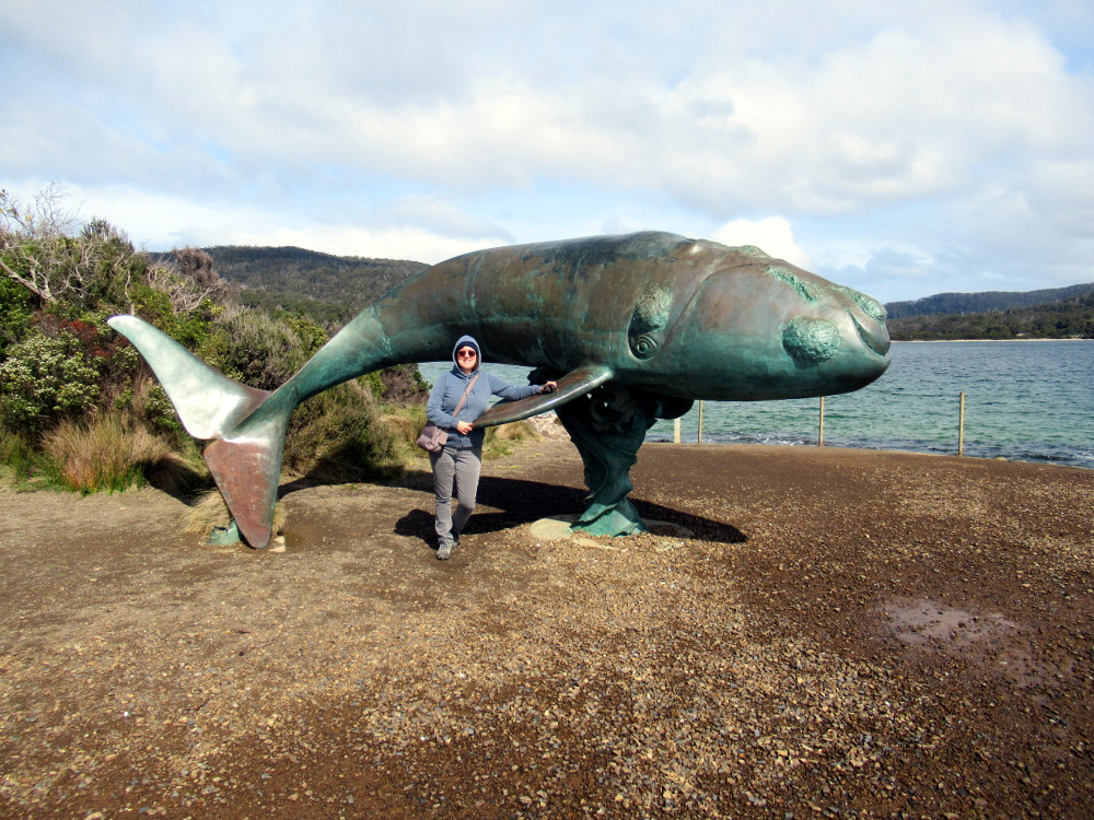
I posed with the whale. You can see by our dress that it's cool outside and a little breezy but, as I said earlier, it was winter in Tasmania.
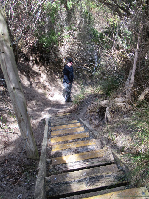
Nearby, there were ladders to help us to the beach.
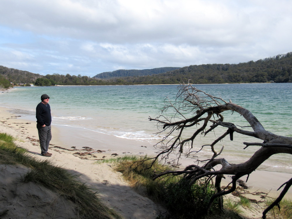
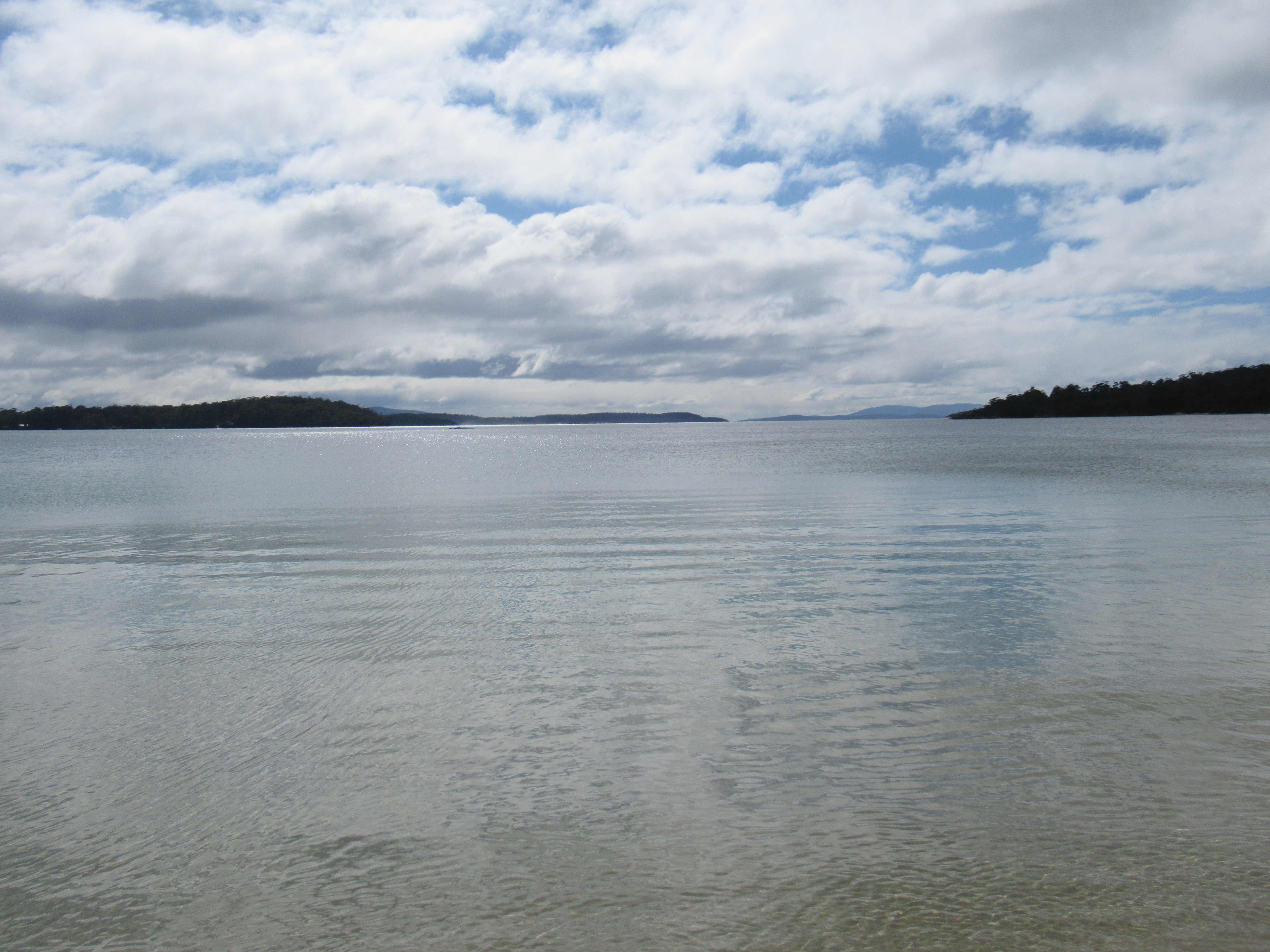
Once again, left...
... and right.
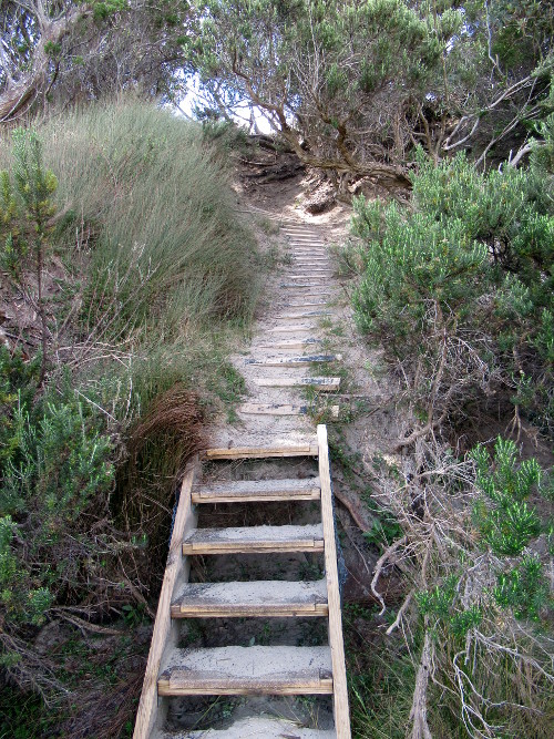
I thought the ladders were amusing.
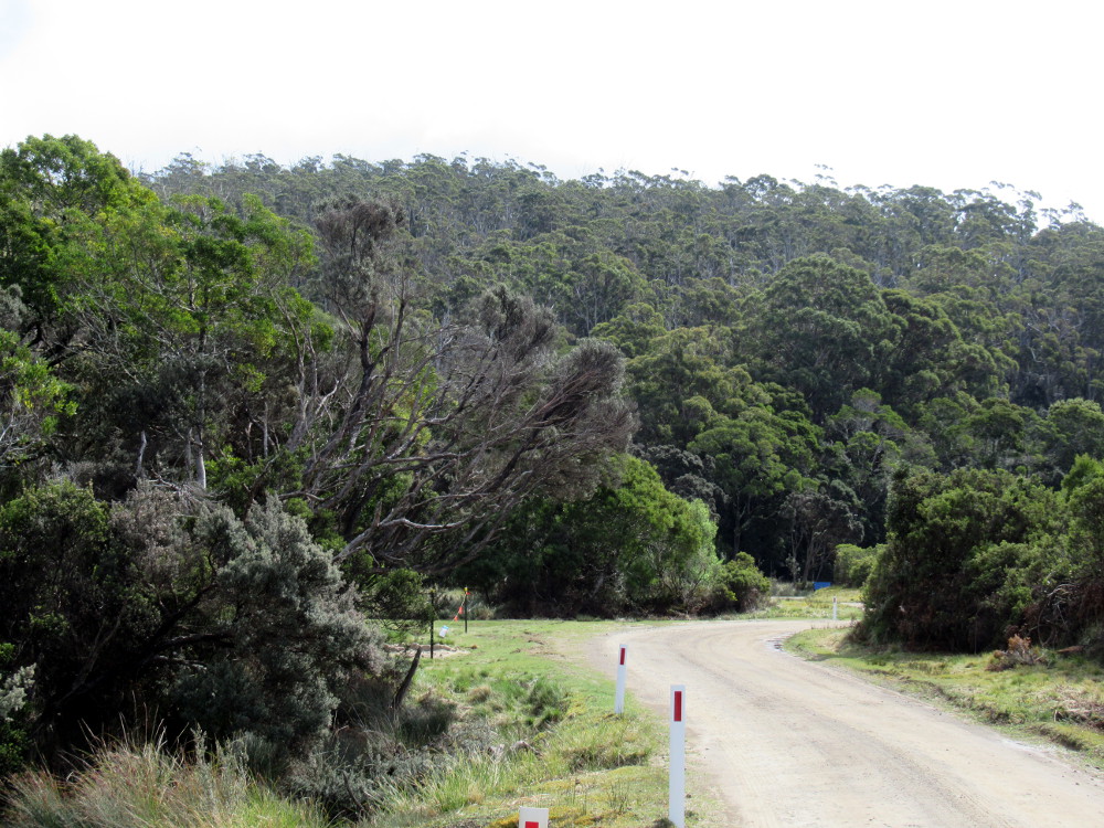
We retraced our path up Cockle Creek Road.
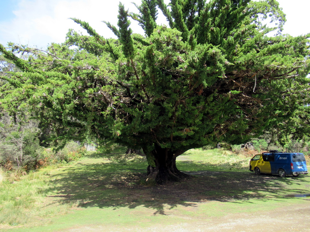
Logging was also very important in this area and the most important species was the Huon Pine, now protected. I had included this photo of an ancient Huon Pine, in a previous post on the amazing Huon pine tree. It absolutely dwarfs the full-size van beside it and Huon pines grow .3-2 mm ( roughly 1/16" max) in diameter per year!
It was starting to cloud over. My friend told me the weather was unpredictable but it seems like a place that is worth exploring.
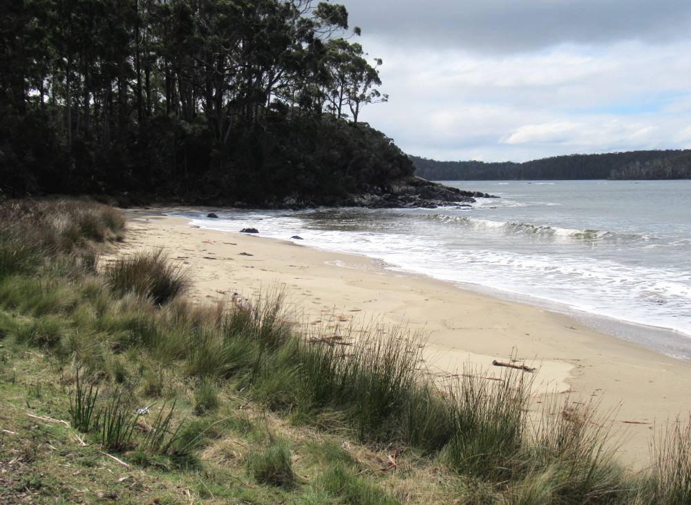
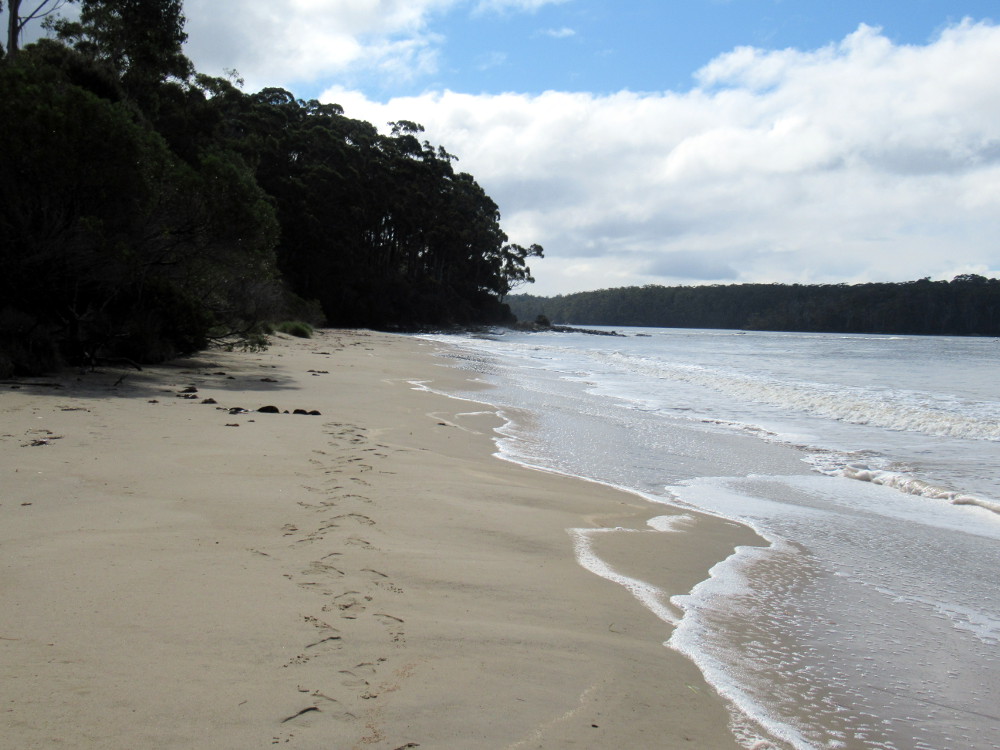
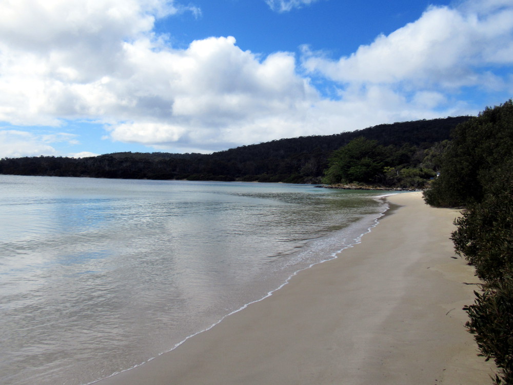
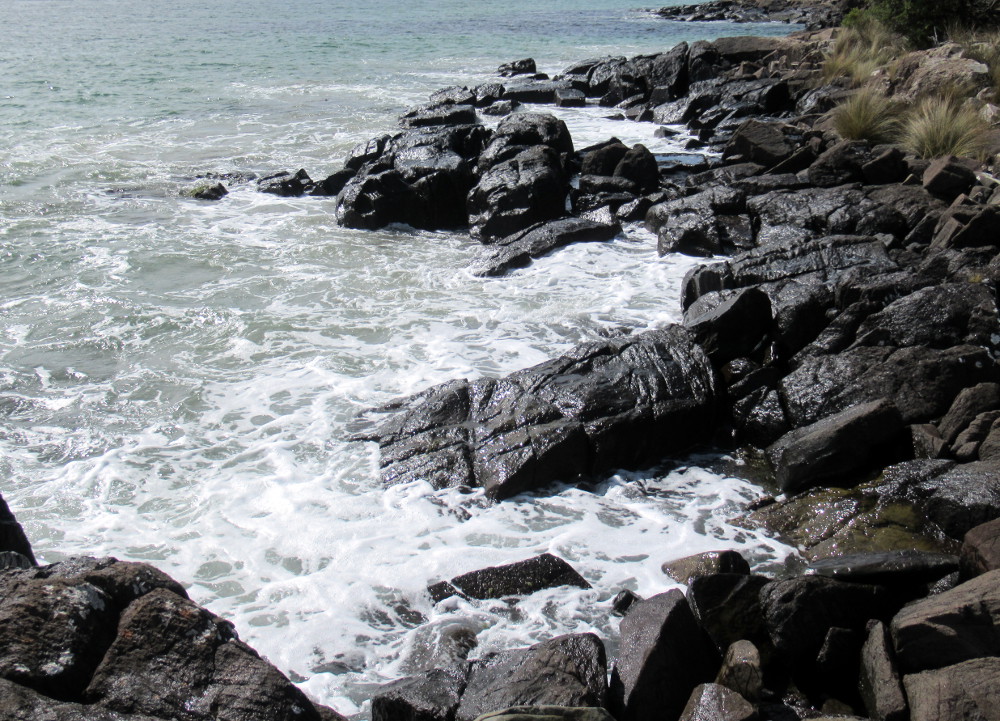
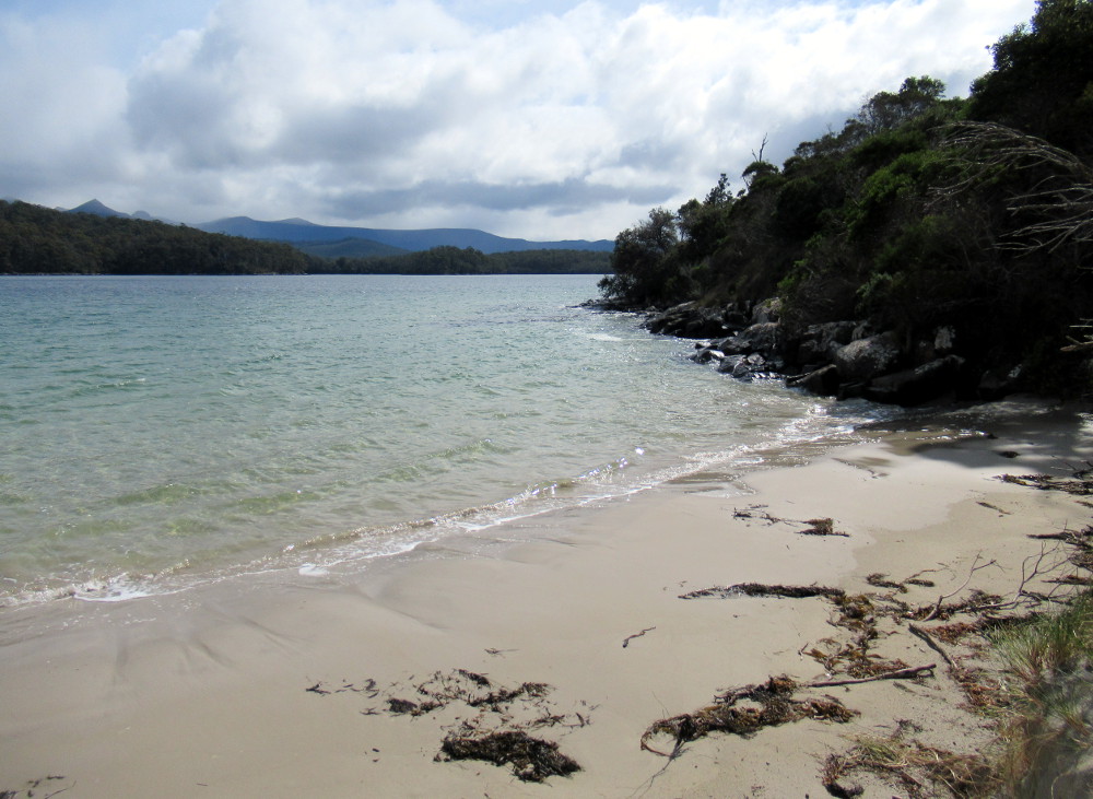
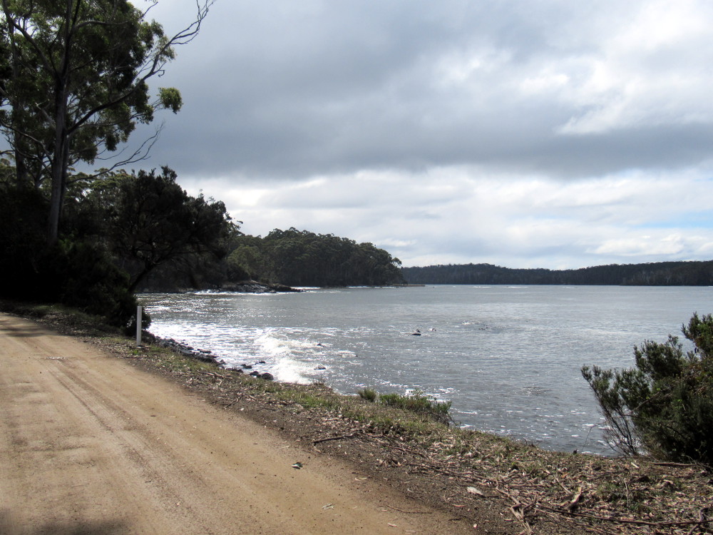
And one last beach photo.
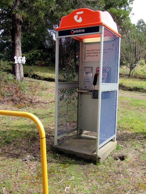
When almost everyone has a cellphone, you might wonder about a phone booth in the middle of nowhere but I didn't mention there is no cellphone service!
References
Exploration: Bruni D'Entrecasteaux
Southwest National Park
Cockle Creek
Images
Photos by @kansuze using my Canon SX620 HS in Recherche Bay, Tasmania, Australia.
The map was cut from mapcarta.

I hope you enjoyed Recherche Bay,
@kansuze
Congratulations, your post has been added to Pinmapple! 🎉🥳🍍
Did you know you have your own profile map?
And every post has their own map too!
Want to have your post on the map too?
Congratulations @kansuze! You have completed the following achievement on the Hive blockchain and have been rewarded with new badge(s) :
You can view your badges on your board and compare yourself to others in the Ranking
If you no longer want to receive notifications, reply to this comment with the word
STOPCheck out the last post from @hivebuzz:
Great photos and an interesting post!
Hi Ludmila, Glad you liked it!
Hiya, @LivingUKTaiwan here, just swinging by to let you know that this post made it into our Top 3 in Daily Travel Digest #1100.
Your post has been manually curated by the @pinmapple team. If you like what we're doing, please drop by to check out all the rest of today's great posts and consider supporting other authors like yourself and us so we can keep the project going!
Become part of our travel community:
Thank you @LivingUKTaiwan and @pinmapple!
Great post! Thanks for sharing :)
Thank you and thanks for dropping by.