First snow graphics
Why is the first snow graphical, but after the usual winter snowfall there is no such graphic? I believe this is due to the thin snow cover that covers everything around. And the structure of snowflakes at different temperatures is different. The first snowfall usually occurs at near-zero temperatures.

Because of this, the snow sticks to the surface, which creates a certain kind of texture.

And a thin layer of snow shines through, so a contrast is obtained when leaving a trace from a person's tires or shoes.

There are still no drifts and an uneven thick layer of snow, so the surfaces are all smooth, on which the structure of the snow stands out more strongly.

In general, the reasons for the graphicality are clear.

And the places to look for charts are logical.

It remains to decide on the color, will it be colorful pictures or close to black and white tones.

If you need color, then you need to look for plots under the light of street lamps.
If you need monochrome pictures, then it should be a day and preferably cloudy.

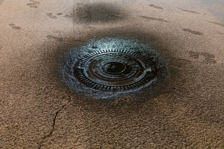
Snowfall can give both graphics and shapes, lines, spots.

Shapes appear after very heavy snowfall, when caps are formed on various outdoor objects.

The lines can be seen after a blizzard - one of the forms of snowfall with strong winds.

Well, spots are also formed during the first or last snowfall during snow melting.
Fortunately/luckily we are still in the autumn/fall in Hungary.